Summary
The ideal streamflow range for Piney Creek is between 200-500 cfs. The class rating for this river is Class III-IV, which means it has moderate to difficult rapids with powerful waves and narrow passages. The segment mileage for Piney Creek is approximately 8 miles, making it a relatively short but intense run.
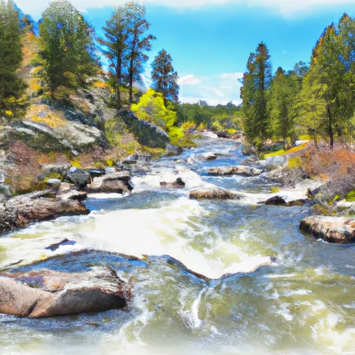
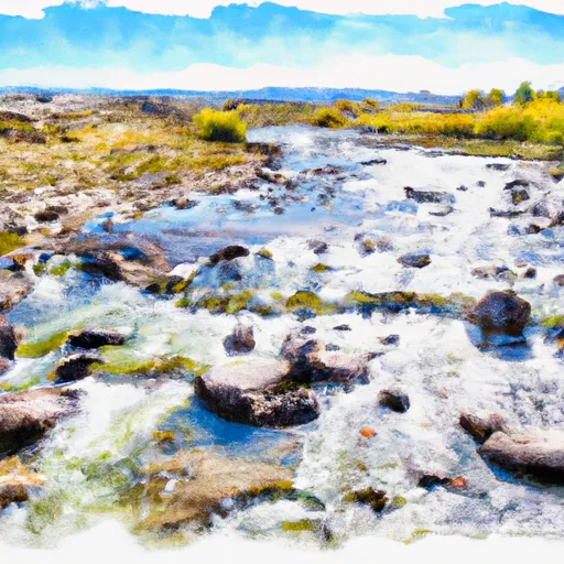
There are several specific river rapids and obstacles on Piney Creek that paddlers should be aware of. The most challenging rapids are located towards the middle of the run and include "The S-Turn" and "The Notch." These rapids are characterized by tight turns and steep drops, which require precise maneuvering to navigate successfully. One of the standout features of Piney Creek is the beautiful scenery and crystal-clear water that flows through the canyon.
In terms of regulations, Piney Creek is located on national forest land and is subject to regulations set forth by the U.S. Forest Service. Visitors are required to obtain a permit before entering the area and must adhere to Leave No Trace principles. Additionally, there are restrictions on camping and campfires, as well as restrictions on motorized vehicles within the area.
Overall, Piney Creek is a challenging and beautiful whitewater river run that should be approached with caution and respect. Paddlers should be experienced in Class III-IV rapids and be prepared for the unique challenges that Piney Creek presents.
°F
°F
mph
Wind
%
Humidity
15-Day Weather Outlook
River Run Details
| Last Updated | 2025-06-28 |
| River Levels | 5230 cfs (5.33 ft) |
| Percent of Normal | 36% |
| Status | |
| Class Level | iii-iv |
| Elevation | ft |
| Streamflow Discharge | cfs |
| Gauge Height | ft |
| Reporting Streamgage | USGS 06207500 |
5-Day Hourly Forecast Detail
Nearby Streamflow Levels
 Shoshone River Near Lovell
|
404cfs |
 Clarks Fork Yellowstone River Nr Belfry Mt
|
231cfs |
 Clarks Fork Yellowstone River At Edgar Mt
|
379cfs |
 Bighorn River At Kane
|
1170cfs |
 Rock Creek Near Red Lodge Mt
|
29cfs |
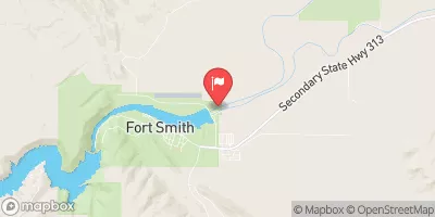 Bighorn River Near St. Xavier
|
1810cfs |


 Piney Creek
 Bear Creek
 Forest Boundary, Sec. 35, T8S, R27E To Headwaters, Sec. 32, T7S, R27E
 Crooked Creek