2026-02-24T05:00:00-07:00
...WINTRY MIX IN VALLEYS AND HEAVY MOUNTAIN SNOW... .A transition from rain to wet snow tonight will lead to slick road conditions for the Tuesday morning commute across West-Central Montana. While snowfall amounts will be light to moderate, the slushy nature of the snow with slick conditions are the primary concerns as temperatures drop below freezing on wet surfaces. * WHAT...Snow expected. There is a likelihood of minor to moderate winter weather impacts. Total snow accumulations of 1 to 4 inches in the valleys and 4 to 7 inches from Essex to Marias Pass. Higher amounts are expected in the higher terrain. Winds gusting as high as 35 mph. * WHERE...Marias Pass, Essex, Highway 83 Bigfork to Swan Lake, Polebridge, Glacier National Park, and Bad Rock Canyon. * WHEN...Until 5 AM MST Tuesday. * IMPACTS...Winter traveling conditions. For MODERATE winter weather impacts, expect disruptions to normal activities. Hazardous traveling conditions. Use extra caution while driving. Closures and disruptions to infrastructure may occur.
Summary
This section features several Class III and IV rapids, including Bonecrusher and Jaws, as well as logjams and sweepers that require careful navigation. The best time to float this section is typically from mid-June to mid-July, when water levels are between 3,000 and 6,000 cfs. It is recommended that paddlers have experience with technical rapids and scouting beforehand.
°F
°F
mph
Wind
%
Humidity
15-Day Weather Outlook
River Run Details
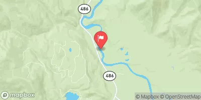
| Last Updated | 2023-06-13 |
| River Levels | 432 cfs (4.85 ft) |
| Percent of Normal | 23% |
| Optimal Range | 1000-10000 cfs |
| Status | Too Low |
| Class Level | II to II+ |
| Elevation | 3,983 ft |
| Run Length | 24.2 Mi |
| Gradient | 15 FPM |
| Streamflow Discharge | 336 cfs |
| Gauge Height | 4.7 ft |
| Reporting Streamgage | USGS 12355000 |
5-Day Hourly Forecast Detail
Nearby Streamflow Levels
Area Campgrounds
| Location | Reservations | Toilets |
|---|---|---|
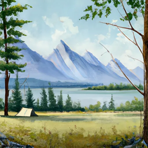 Kintla Lake
|
||
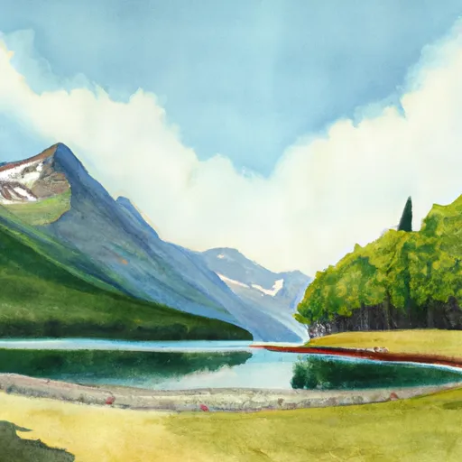 Kintla Lake - Glacier National Park
|
||
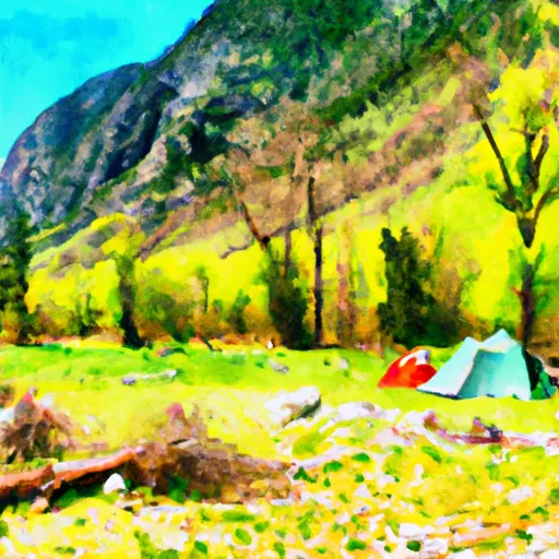 Tuchuck
|
||
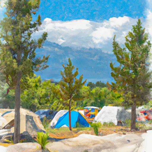 Tuchuck Campground
|
||
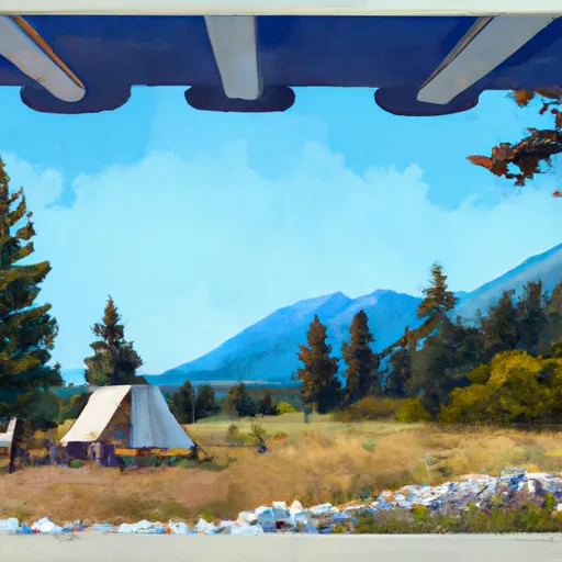 Wurtz Cabin
|
||
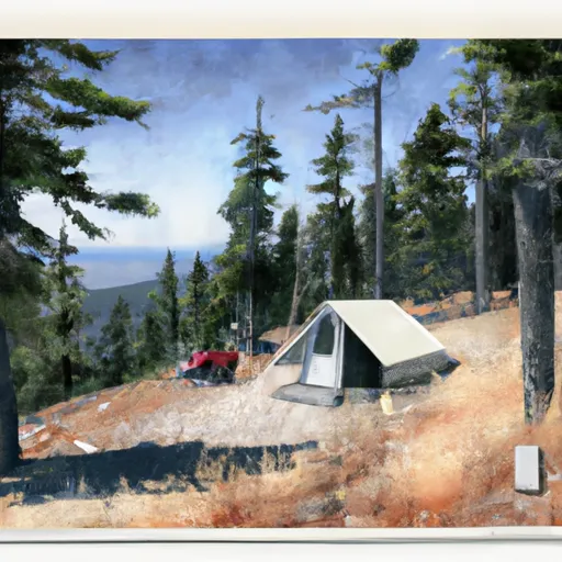 Hornet Lookout Cabin
|


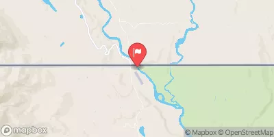
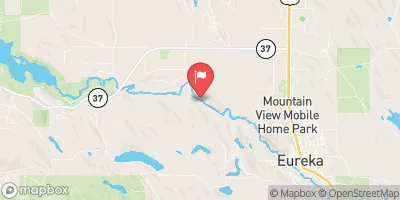
 Border to Polebridge