Summary
Obstacles include boulder gardens, tight channels, and a few larger drops, so paddlers should have some experience and be prepared for technical maneuvers. The run is scenic with views of the surrounding mountains and forests, but water levels can vary greatly, so it's important to check before heading out.
°F
°F
mph
Wind
%
Humidity
15-Day Weather Outlook
River Run Details
| Last Updated | 2023-06-13 |
| River Levels | 308 cfs (1.22 ft) |
| Percent of Normal | 95% |
| Optimal Range | 300-10000 cfs |
| Status | Too Low |
| Class Level | III+ to IV+ |
| Elevation | 5,189 ft |
| Run Length | 12.0 Mi |
| Gradient | 33 FPM |
| Streamflow Discharge | 283 cfs |
| Gauge Height | 1.2 ft |
| Reporting Streamgage | USGS 06043500 |
5-Day Hourly Forecast Detail
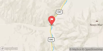
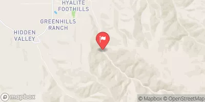
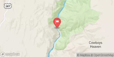
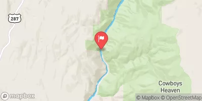
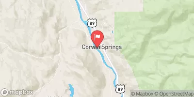
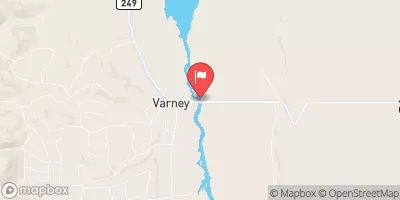
Nearby Streamflow Levels
Area Campgrounds
| Location | Reservations | Toilets |
|---|---|---|
 Camp
Camp
|
||
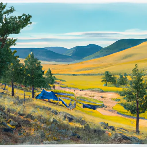 Moose Creek Group Site
|
||
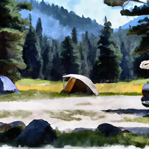 Moose Creek Flat
|
||
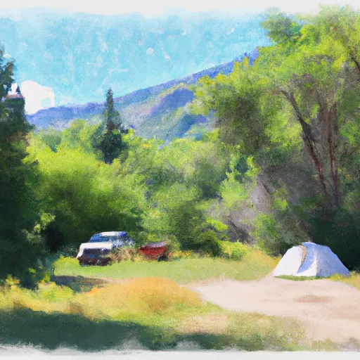 Swan Creek Campground
|
||
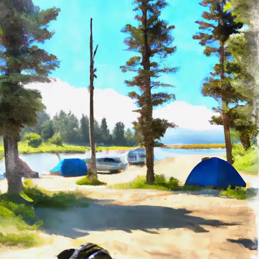 Swan Creek
|
||
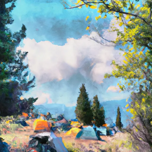 Greek Creek Campground
|


 Moose to Storm Castle