Summary
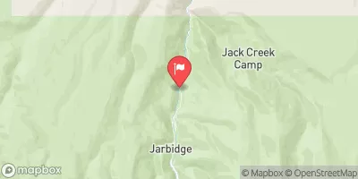
The Headwaters to Jarbidge Wilderness Boundary run is a class III-IV run with a segment mileage of approximately 22.5 miles. The ideal streamflow range is between 400-800 cfs, with the best time to run the river being in late spring or early summer.
There are several notable rapids and obstacles on this run, including Chute Rapids, The Narrows, and Funnel Falls. Chute Rapids is a class III drop with a steep, technical entrance. The Narrows is a narrow section of the river with several class III rapids and sudden drops. Funnel Falls is a class IV drop that requires a precise line through a narrow chute.
In terms of regulations, the Whitewater River is within the Humboldt-Toiyabe National Forest and is subject to standard national forest rules and regulations. All boaters are required to have a permit to use the river, which can be obtained from the Jarbidge Ranger District. Additionally, there are restrictions on camping and fires in the area.
Overall, the Headwaters to Jarbidge Wilderness Boundary run on the Whitewater River is a challenging and exciting adventure for experienced kayakers and rafters. It is important to check current streamflow levels and adhere to all regulations to ensure a safe and enjoyable trip.
°F
°F
mph
Wind
%
Humidity
15-Day Weather Outlook
River Run Details
| Last Updated | 2026-02-07 |
| River Levels | 176 cfs (4.38 ft) |
| Percent of Normal | 60% |
| Status | |
| Class Level | iii-iv |
| Elevation | ft |
| Streamflow Discharge | cfs |
| Gauge Height | ft |
| Reporting Streamgage | USGS 13162225 |
5-Day Hourly Forecast Detail
Nearby Streamflow Levels
Area Campgrounds
| Location | Reservations | Toilets |
|---|---|---|
 Lower Bluster Campground
|
||
 Upper Bluster Campground
|
||
 Pavlak Campground
|
||
 Jarbidge
|
||
 Sawmill Campground
|
||
 Sawmill
|


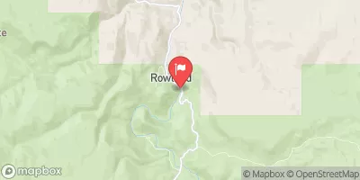
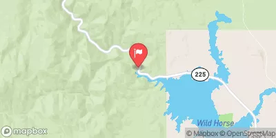
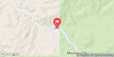
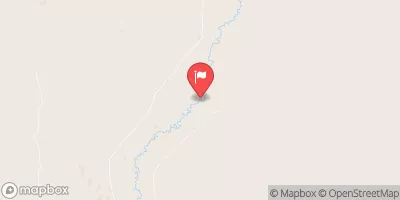
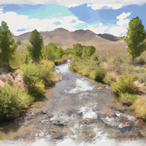 Headwaters To Jarbidge Wilderness Boundary
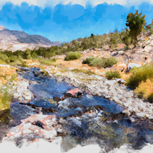 Headwaters To Wilderness Boundary
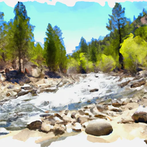 Wilderness Boundary To Forest Boundary
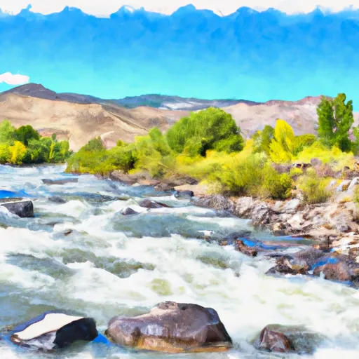 Jarbidge River