Summary
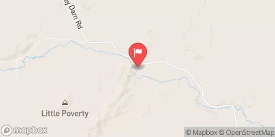
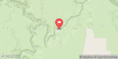
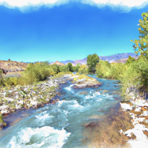
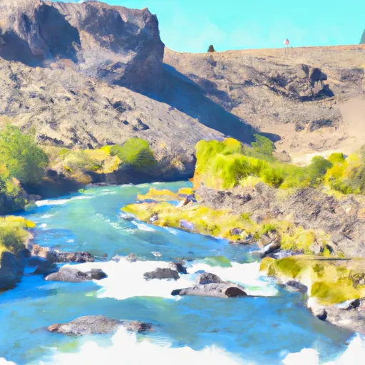
The run begins at Whitehorse Creek and ends at the Jacks Valley Road Bridge. This section of the river includes several notable rapids, including "The Narrows," "Pinball," and "Nemesis," which are known for their technical challenges and high-intensity whitewater.
In terms of specific regulations, the river is managed by the Bureau of Land Management and requires a permit for commercial outfitters. The area is also subject to seasonal closures and restrictions based on weather and water conditions, so it is important to check with local authorities before planning a trip. It is also recommended that all paddlers wear appropriate safety gear, including helmets and personal flotation devices.
°F
°F
mph
Wind
%
Humidity
15-Day Weather Outlook
River Run Details
| Last Updated | 2025-06-28 |
| River Levels | 74 cfs (3.45 ft) |
| Percent of Normal | 26% |
| Status | |
| Class Level | iii |
| Elevation | ft |
| Streamflow Discharge | cfs |
| Gauge Height | ft |
| Reporting Streamgage | USGS 10352500 |
5-Day Hourly Forecast Detail
Nearby Streamflow Levels
Area Campgrounds
| Location | Reservations | Toilets |
|---|---|---|
 Cottonwood Cr Hunter Camp
|
||
 Minehole Cr Hunter Camp
|
||
 Oregon Canyon Hunter Camp
|
||
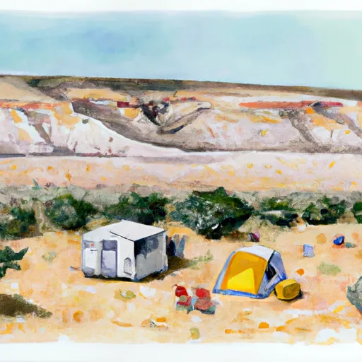 Mud Spring Hunter Camp
|


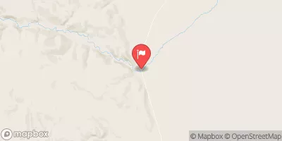
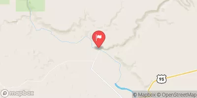
 Whitehorse Cr - J1
 Whitehorse Cr
 Indian Cr
 Oregon Canyon Cr - J15
 Cottonwood Cr