Summary
The ideal streamflow range for this river is between 500 and 1,500 cfs, with peak flows occurring in late May and early June due to snowmelt. The segment mileage for this river run is approximately 30 miles, with the trip typically taking 2-3 days to complete.
The East Fork Jarbidge River is rated as a Class III-IV run, with challenging rapids and obstacles such as "The Notch", "Pinball", and "S-Turn". These rapids require careful navigation and precise maneuvering, and are not recommended for beginner or intermediate paddlers.
Regulations for this area include obtaining a permit from the Humboldt-Toiyabe National Forest Service, as well as following Leave No Trace principles and practicing responsible camping. Additionally, the use of motorized watercraft is prohibited on this river.
°F
°F
mph
Wind
%
Humidity
15-Day Weather Outlook
River Run Details
| Last Updated | 2025-06-28 |
| River Levels | 176 cfs (4.38 ft) |
| Percent of Normal | 27% |
| Status | |
| Class Level | iii-iv |
| Elevation | ft |
| Streamflow Discharge | cfs |
| Gauge Height | ft |
| Reporting Streamgage | USGS 13162225 |
5-Day Hourly Forecast Detail
Nearby Streamflow Levels
Area Campgrounds
| Location | Reservations | Toilets |
|---|---|---|
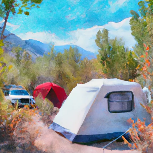 Big Cottonwood Campground
|
||
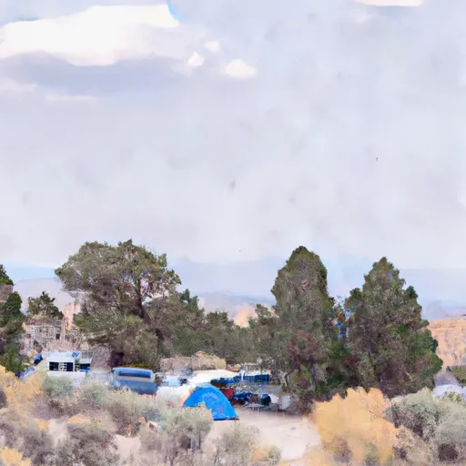 Juniper Grove Campground
|
||
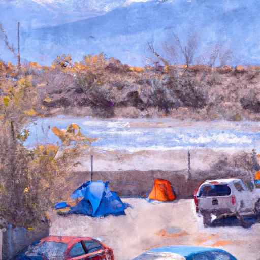 The Forks Campground
|
||
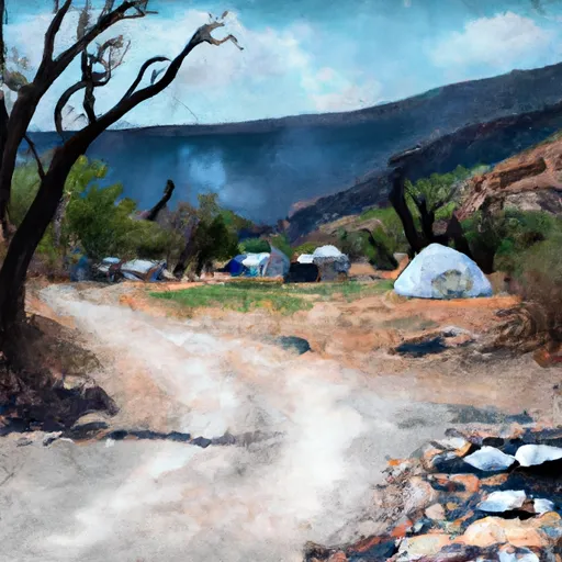 Sawmill
|
||
 Sawmill Campground
|
||
 Jarbidge
|


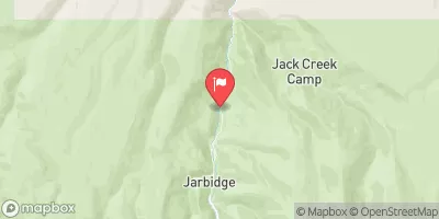
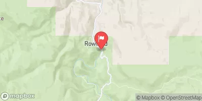
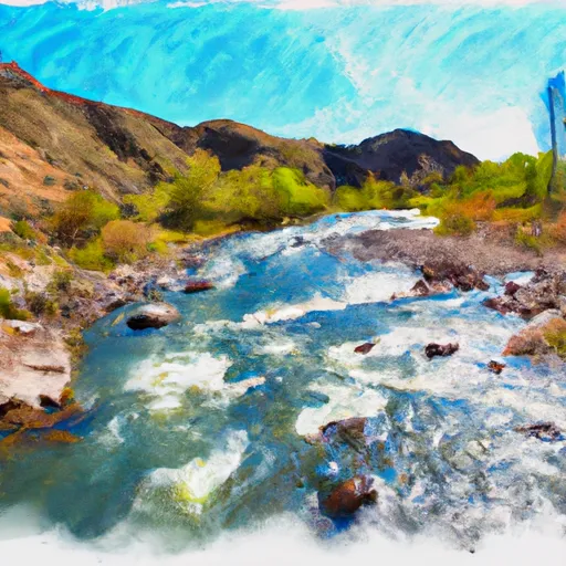 East Fork Jarbidge River
 Murphy to Bruneau
 Dave Creek