Summary
°F
°F
mph
Wind
%
Humidity
15-Day Weather Outlook
River Run Details
| Last Updated | 2026-02-07 |
| River Levels | 251 cfs (2.78 ft) |
| Percent of Normal | 76% |
| Status | |
| Class Level | None |
| Elevation | ft |
| Run Length | 7.0 Mi |
| Streamflow Discharge | cfs |
| Gauge Height | ft |
| Reporting Streamgage | USGS 01075000 |
5-Day Hourly Forecast Detail
Nearby Streamflow Levels
Area Campgrounds
| Location | Reservations | Toilets |
|---|---|---|
 KOA Campground
|
||
 Waterest Campground
|
||
 Tripoli Rd
|
||
 Tripoli Road Camping Area
|
||
 Russell Pond
|
||
 Pemi River Campground
|


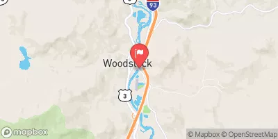
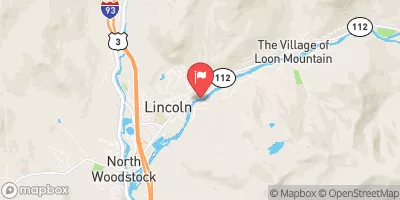
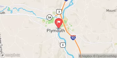
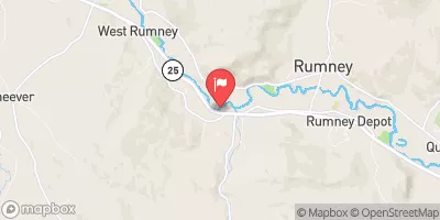
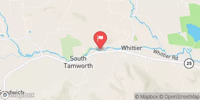
 Woodstock/Thornton Town Line To Thornton Railroad Bridge
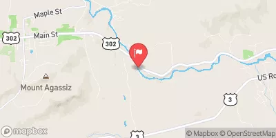
 Thornton Railroad Bridge To Bridgewater/Bristol Town Line