Summary
The ideal streamflow range for this river is between 500-2000cfs, with the best time to visit being between April and June. The run is classified as class II-IV, depending on the section being paddled.
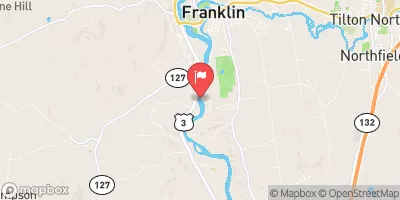
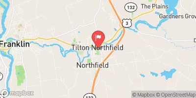
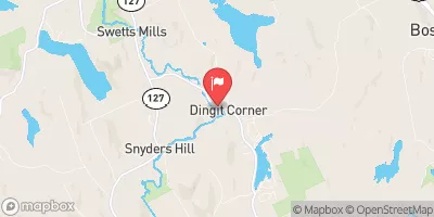
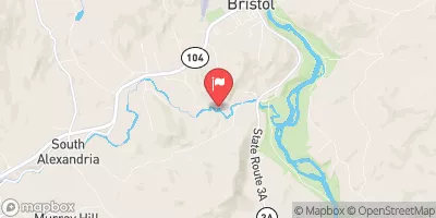
The segment mileage for the Whitewater River Run starts at Franklin and ends at Sewall's Island, covering approximately 17 miles. The river features several rapids and obstacles, including the popular "Garfield Falls" and "Pipeline Rapid." These sections offer exciting class III and IV rapids, with challenging technical maneuvers required to navigate them successfully.
There are specific regulations for paddling the Whitewater River Run. These include wearing a personal flotation device at all times, as well as adhering to speed limits in designated areas. Additionally, there are restrictions on camping and fires along the riverbank. Paddlers are also encouraged to practice "leave no trace" principles and carry out all trash and waste.
Overall, the Whitewater River Run in New Hampshire offers an exhilarating experience for paddlers seeking a challenge. It is important to research the river's specific conditions and regulations before planning a trip, as well as to ensure that proper safety measures are taken.
°F
°F
mph
Wind
%
Humidity
15-Day Weather Outlook
River Run Details
| Last Updated | 2026-02-07 |
| River Levels | 1280 cfs (4.67 ft) |
| Percent of Normal | 56% |
| Status | |
| Class Level | ii-iv |
| Elevation | ft |
| Run Length | 19.0 Mi |
| Streamflow Discharge | cfs |
| Gauge Height | ft |
| Reporting Streamgage | USGS 01081500 |


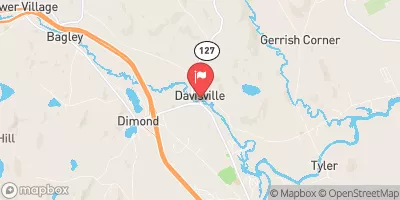
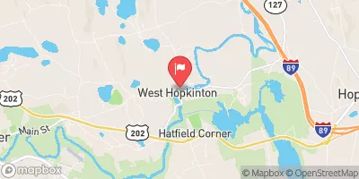
 Webster Lake boat launch
 Begins In Franklin To Sewall'S Island
 Daniel Webster Birthplace
 Jamie Welch Memorial Field
 Knight Meadow Marsh Wildlife Management Area
 Murray Hill Summer Home District
 Kearsarge Wildlife Management Area