Summary
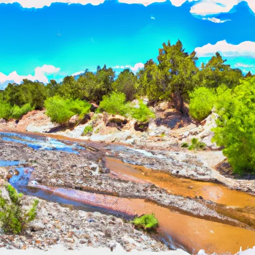
The ideal streamflow range for this section of the river is between 500 and 1500 cfs, with peak runoff occurring in May and June. The section is rated as Class III-IV on the International Scale of River Difficulty, making it suitable for intermediate to advanced paddlers.
The segment mileage for this section of the river is approximately 9 miles, and it features several notable rapids and obstacles, such as "Jaws," "Souse Hole," and "Rock Garden." Paddlers should be aware of the potential hazards and technical challenges posed by these rapids, and exercise caution when navigating the river.
There are also specific regulations that apply to this area, including restrictions on camping and fires, as well as guidelines for minimizing impact on the surrounding environment. Paddlers should familiarize themselves with these regulations and take care to adhere to them during their visit.
°F
°F
mph
Wind
%
Humidity
15-Day Weather Outlook
River Run Details
| Last Updated | 2026-02-07 |
| River Levels | 1420 cfs (5.77 ft) |
| Percent of Normal | 65% |
| Status | |
| Class Level | iii-iv |
| Elevation | ft |
| Streamflow Discharge | cfs |
| Gauge Height | ft |
| Reporting Streamgage | USGS 08290000 |
5-Day Hourly Forecast Detail
Nearby Streamflow Levels
Area Campgrounds
| Location | Reservations | Toilets |
|---|---|---|
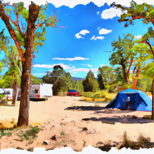 Santa Barbara
|
||
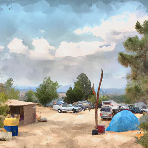 Santa Barbara Campground
|
||
 Hodges
|
||
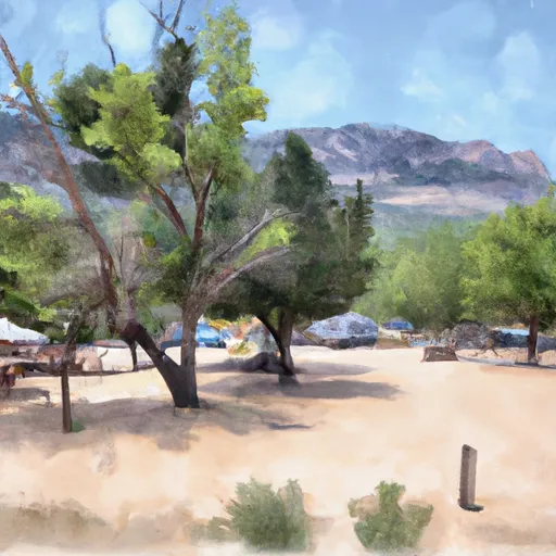 Llanito Frio Campground
|
||
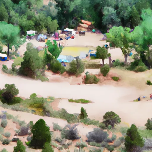 Comales Campground
|
||
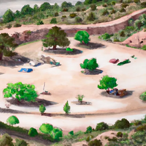 Comales
|


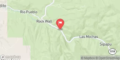
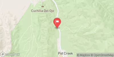
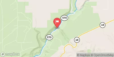
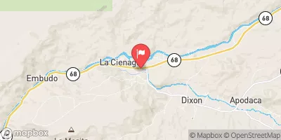
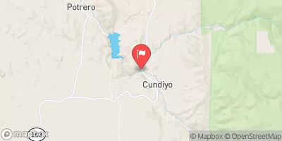
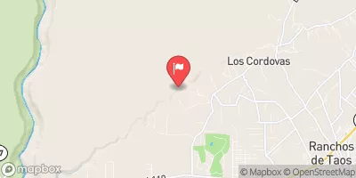
 Concrete Bridge To Nf Boundary
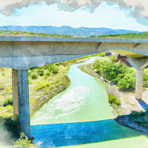 Santa Barbara Cg To Concrete Bridge On Fr 116
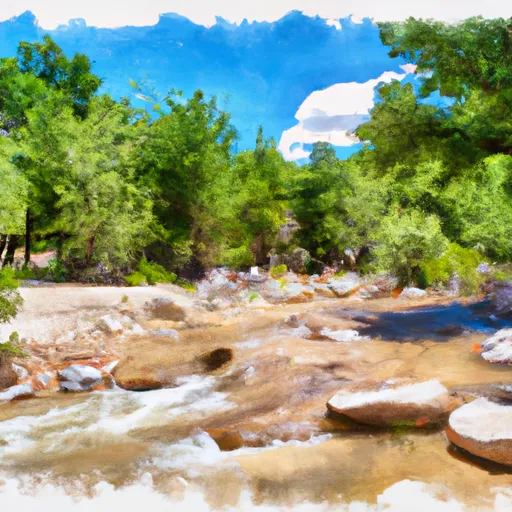 Headwaters To Santa Barbara Campground
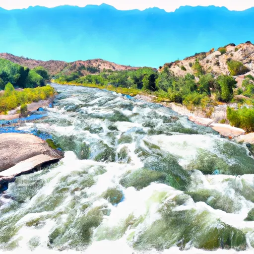 Confluence With Rio Angostura To Osha Diversion
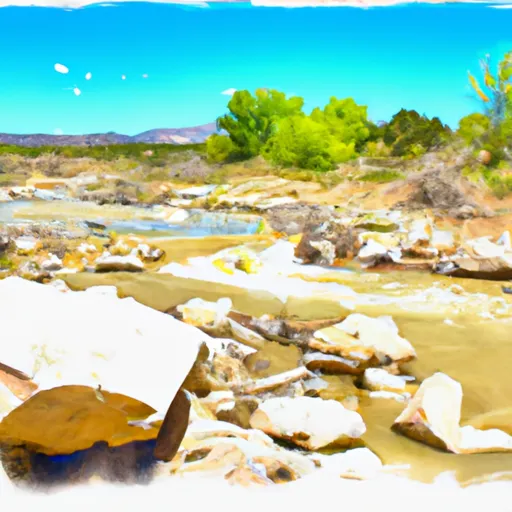 Headwaters To Confluence With Rio Pueblo
 Headwaters To Confluence With San Leonardo