Summary
The ideal streamflow range for this segment is between 200 and 1000 cfs, and the class rating is class III-V. This segment covers a distance of approximately 6 miles and features several challenging rapids and obstacles, including the Meatgrinder, the Narrows, and Pumphouse Falls.
It is important to note that this section of the river passes through private land, and access is allowed only with the landowner's permission. Additionally, all visitors must obtain a permit from the New Mexico State Land Office before entering the area.
Overall, the Whitewater River Run from Spring Creek to the Private Land Boundary is a thrilling adventure for experienced whitewater enthusiasts. However, it is important to respect private property rights and follow all regulations to ensure the safety and preservation of the area.
°F
°F
mph
Wind
%
Humidity
15-Day Weather Outlook
River Run Details
| Last Updated | 2026-02-07 |
| River Levels | 38 cfs (3.39 ft) |
| Percent of Normal | 104% |
| Status | |
| Class Level | iii-v |
| Elevation | ft |
| Streamflow Discharge | cfs |
| Gauge Height | ft |
| Reporting Streamgage | USGS 08289000 |


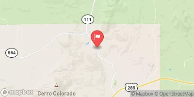
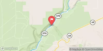
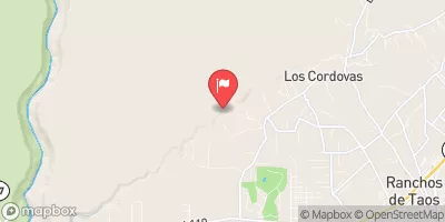
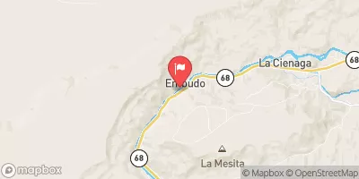
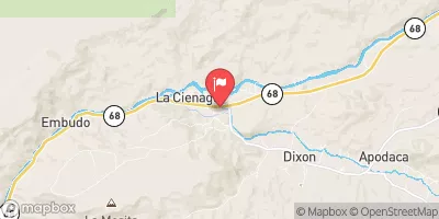
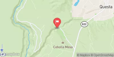
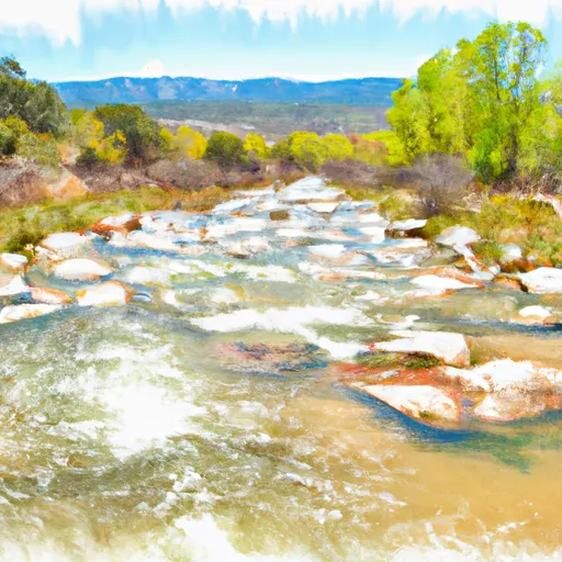 Spring Creek To Private Land Boundary
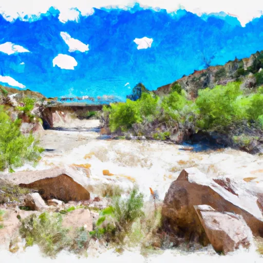 El Rito Ranger District Boundary To Felipito Bridge