Summary
The ideal streamflow range for this segment is between 200-600 cubic feet per second (cfs). During peak snowmelt or heavy rainfall, the river can reach flows of up to 1000 cfs, which can make the rapids more challenging and dangerous.
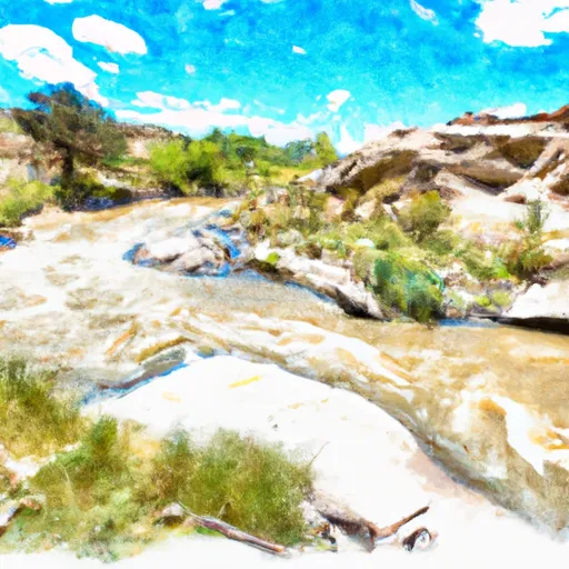
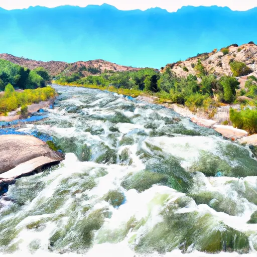
Some of the notable rapids and obstacles on this segment include Little Arsenic, which is a class III rapid that requires precise navigation through a narrow chute. There is also a series of class II rapids, such as Pinball and Squeeze Play, that require maneuvering through boulder gardens. Throughout the run, boaters will encounter many eddies and waves, making it an exciting and dynamic experience.
It is important to note that the Whitewater River Run is located within the Santa Fe National Forest and is subject to specific regulations. The segment is only open to boating between May 1st and September 30th, and all boaters must obtain a permit from the Forest Service before entering the area. Additionally, all boaters must wear a personal flotation device (PFD) at all times while on the river.
Overall, the Whitewater River Run from Headwaters to Confluence with Rito De La Olla is an exciting and challenging run for intermediate boaters. It is important to check the streamflow levels and obtain the necessary permits before entering the area.
°F
°F
mph
Wind
%
Humidity
15-Day Weather Outlook
River Run Details
| Last Updated | 2026-01-12 |
| River Levels | 49 cfs (5.29 ft) |
| Percent of Normal | 103% |
| Status | |
| Class Level | ii-iii |
| Elevation | ft |
| Streamflow Discharge | cfs |
| Gauge Height | ft |
| Reporting Streamgage | USGS 08275500 |
5-Day Hourly Forecast Detail
Nearby Streamflow Levels
Area Campgrounds
| Location | Reservations | Toilets |
|---|---|---|
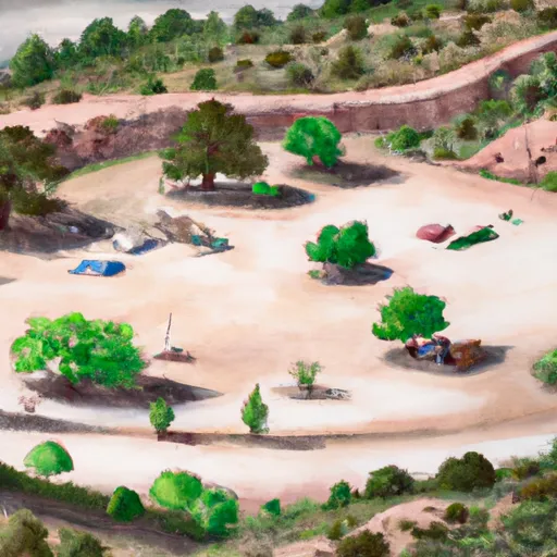 Comales
|
||
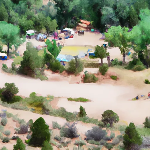 Comales Campground
|
||
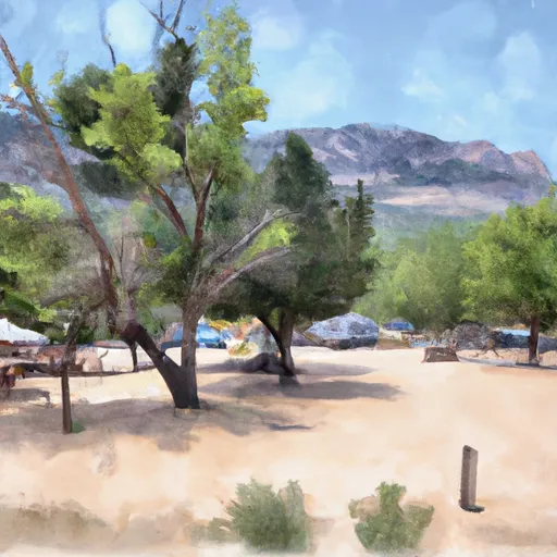 Llanito Frio Campground
|
||
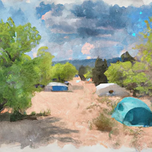 Las Petacas Campground
|
||
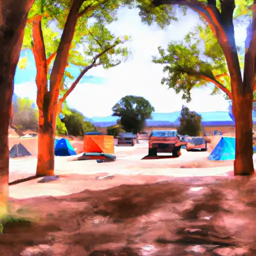 Las Petacas
|
||
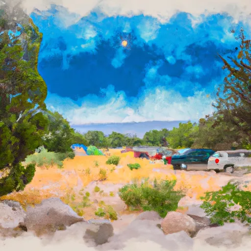 La Sombra Campground
|


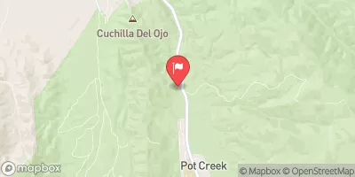
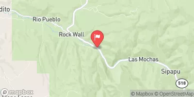
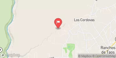
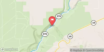
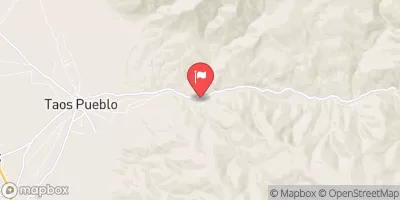
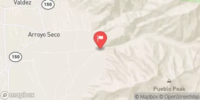
 Taos Junction Bridge Boat Takeout
 Taos Junction Bridge Boat Launch
 Taos Junction Bridge Taos County
 Lone Juniper Boat Takeout
 Lone Juniper Boat Launch
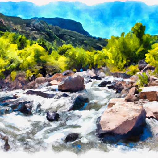 Headwaters To Confluence With Rito De La Olla
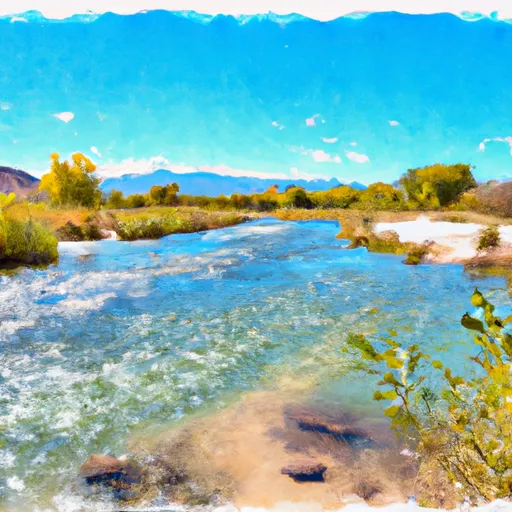 Headwaters To Confluence With Rio Grande Del Rancho
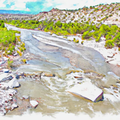 Confluence With Rito De La Olla To Nf Boundary
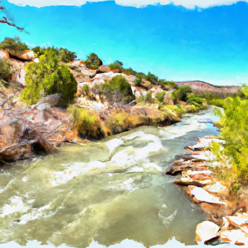 Serna Land Grant Boundary To Nf Boundary
 Agua Caliente
 Confluence With Rio Angostura To Osha Diversion