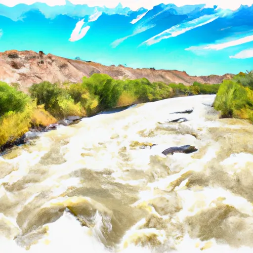
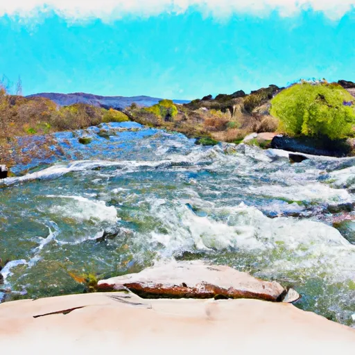
COUNTY LINE BOAT TAKEOUT

Put Ins Take Outs Weather


Flood Watch
Until 2024-07-27T00:00:00-06:00 National Weather Service
* WHAT...Flash flooding caused by excessive rainfall continues to be possible. * WHERE...Portions of central, north central, northeast, and west central New Mexico, including the following areas, in central New Mexico, Central Highlands, Estancia Valley, Lower Rio Grande Valley, Middle Rio Grande Valley including the Albuquerque Metro Area, San Agustin Plains and Adjacent Lowlands, Sandia and Manzano Mountains including Edgewood and South Central Highlands. In north central New Mexico, Espanola Valley, Far Northwest Highlands, Glorieta Mesa Including Glorieta Pass, Jemez Mountains, Northern Sangre de Cristo Mountains, Northwest Highlands, Santa Fe Metro Area, Tusas Mountains Including Chama and Upper Rio Grande Valley. In northeast New Mexico, Northeast Highlands. In west central New Mexico, San Francisco River Valley, Southwest Mountains, West Central Highlands and West Central Mountains. * WHEN...Until midnight MDT tonight. * IMPACTS...Excessive runoff may result in flooding of rivers, creeks, streams, and other low-lying and flood-prone locations. Flooding may occur in poor drainage and urban areas. * ADDITIONAL DETAILS... - Locally heavy rainfall at rates of 1-2 inches per hour may result in rapid runoff and flash flooding. Locations where the soil is saturated due to recent heavy rainfall will be especially vulnerable to flash flooding, as well as locations with complex terrain, urban areas, and recent burn scars, including the Hermits Peaks/Calf Canyon and South Fork/Salt burn scars. - http://www.weather.gov/safety/flood

July 26, 2024

°F

°F

mph

Windspeed

%

Humidity

Regional Streamflow

46

Cubic Feet Per Second

3

Cubic Feet Per Second

2

Cubic Feet Per Second

45

Cubic Feet Per Second

Explore the Interactive Map

View recreational hotspots like fishing, camping, and parks, alongside climate-related data such as river levels, snowpack, and weather forecasts. Enjoy 3D mapping for an immersive experience, and switch to satellite view for a detailed look at your favorite spots. Simply click, explore, and discover nature like never before!

5-Day Weather Forecast

16-Day Weather Forecast

Nearby Camping & Amenities

Camping Area Campsites Reservations Toilets Showers Elevation
Tetilla Peak - Cochiti Lake 51 5,553 ft
John F Kennedy 18 6,222 ft
Bosque 18 8,570 ft
Villanueva State Park 33 5,802 ft
Capilla 8 9,131 ft
Coronado Numerous 5,087 ft
Fourth Of July 25 7,637 ft
Kirtland AFB Military 72 5,439 ft
Cochiti - Cochiti Lake 60 5,543 ft
Glorieta 5 10,039 ft

Explore Nearby Places

San Luis Lakes Wildlife Area


San Luis Lakes Wildlife Area, located in the state of Colorado, offers a myriad of reasons to visit. This diverse and expansive wildlife haven encompasses nearly 9,000 acres of wetlands, lakes, grasslands, and sand dunes, providing a remarkable experience for nature enthusiasts, bird watchers, and outdoor enthusiasts alike. One of the primary reasons to visit San Luis Lakes Wildlife Area is its incredible biodiversity. The area is home to numerous species of birds, mammals, reptiles, and amphibians. Birdwatching enthusiasts will be delighted to spot a variety of waterfowl, including sandhill cranes, white pelicans, and endangered species such as the whooping ...