2026-02-14T05:00:00-07:00
* WHAT...Snow expected. Total snow accumulations between 4 and 8 inches above 8,500ft with lesser amounts below. * WHERE...Northern and Southern Sangre de Cristo Mountains, and Tusas Mountains Including Chama. * WHEN...Until 5 AM MST Saturday. * IMPACTS...High mountain roads and passes will likely become slick and hazardous. Travel could be very difficult. Tire traction will be reduced. Extend the distance between your vehicle and the vehicle in front of you.
Summary
The ideal streamflow range for this section of river is between 300 and 600 cubic feet per second (cfs). If the water level is too low, it can be difficult to navigate through the numerous boulders and obstacles that are scattered throughout the riverbed. If the water is flowing too fast, it can be dangerous to attempt the run.
This section of river is approximately 14 miles long and features a number of challenging rapids and obstacles. Some of the most notable rapids include Carnage, Souse Hole, and Pinball. These rapids can be particularly difficult to navigate, especially if the water level is high. The run also features several long stretches of calm water, which provide an opportunity to rest and take in the stunning views of the surrounding canyon.
There are several regulations that must be followed when attempting this run. All participants must wear appropriate safety gear, including helmets and personal flotation devices. Additionally, all participants must be experienced in whitewater kayaking or rafting and must have the necessary skills to navigate Class III-IV rapids. Finally, all participants must obtain the necessary permits before attempting the run.
Overall, the Whitewater River Run Long Canyon to NF Boundary is a challenging and exciting section of river that is best tackled by experienced whitewater enthusiasts. With its stunning scenery and challenging rapids, it is a must-visit destination for anyone looking to test their skills on the water.
°F
°F
mph
Wind
%
Humidity
15-Day Weather Outlook
River Run Details
| Last Updated | 2026-01-12 |
| River Levels | 111 cfs (2.87 ft) |
| Percent of Normal | 224% |
| Status | |
| Class Level | iii-iv |
| Elevation | ft |
| Streamflow Discharge | cfs |
| Gauge Height | ft |
| Reporting Streamgage | USGS 08267500 |
5-Day Hourly Forecast Detail
Nearby Streamflow Levels
Area Campgrounds
| Location | Reservations | Toilets |
|---|---|---|
 Twining Campground
|
||
 Twining
|
||
 Italianos
|
||
 Cuchilla Campground
|
||
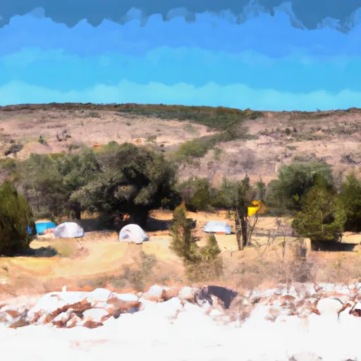 Cuchillo Del Medio Campground
|
||
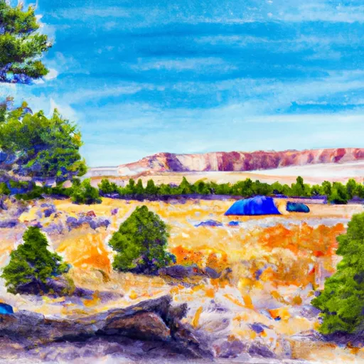 Cuchillo
|


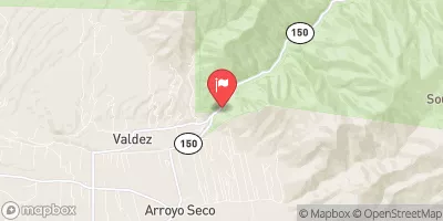
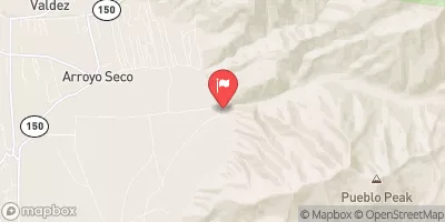
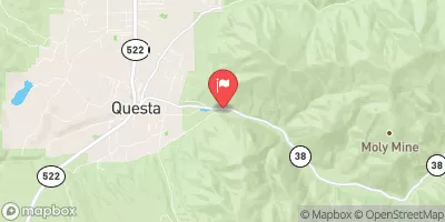
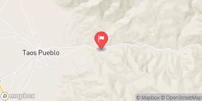
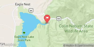
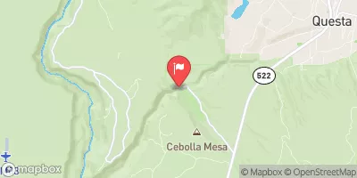
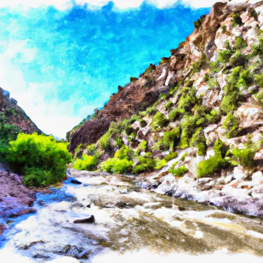 Long Canyon To Nf Boundary
 Headwaters To Red River/Upper Gaging Station
 Headwaters To Red River
 Goose Creek To Fawn Lakes Campground
 Headwaters To Nf Boundary