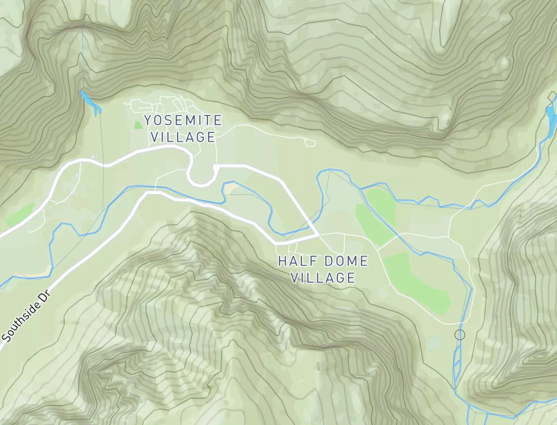
Summary
Regional Streamflow Levels
15-Day Long Term Forecast
River Run Details
| Last Updated | 2026-05-08 |
| River Levels | 166 cfs (3.88 ft) |
| Percent of Normal | 26% |
| Status | |
| Class Level | None |
| Elevation | ft |
| Streamflow Discharge | cfs |
| Gauge Height | ft |
| Reporting Streamgage | USGS 08265000 |
5-Day Hourly Forecast Detail
Area Campgrounds
| Location | Reservations | Toilets |
|---|---|---|
 Twining Campground
|
||
 Twining
|
||
 Junebug Campground
|
||
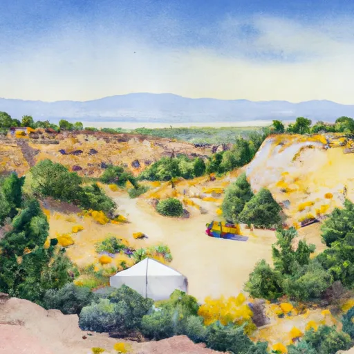 Junebug
|
||
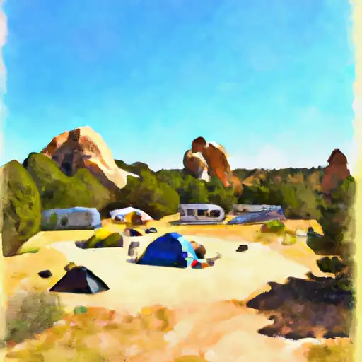 Elephant Rock
|
||
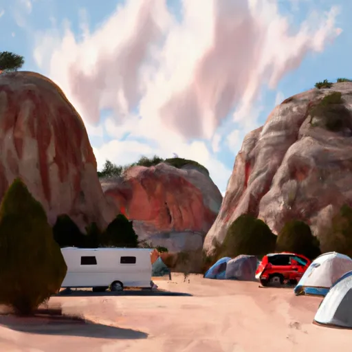 Elephant Rock Campground
|

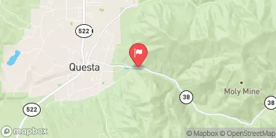
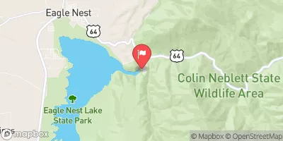
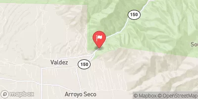
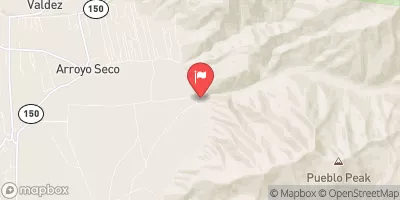
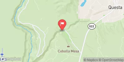
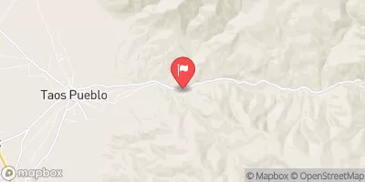

 Headwaters To Red River/Upper Gaging Station
 Headwaters To Red River
 Long Canyon To Nf Boundary
 Goose Creek To Fawn Lakes Campground
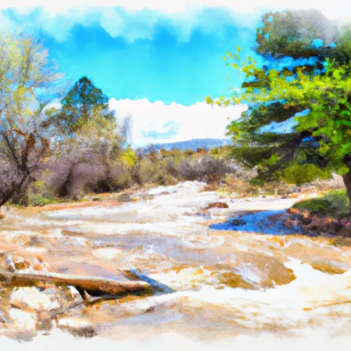 Headwaters To Cabresto Creek
 Wilderness Latir Peak
 Wilderness Area Columbine Hondo
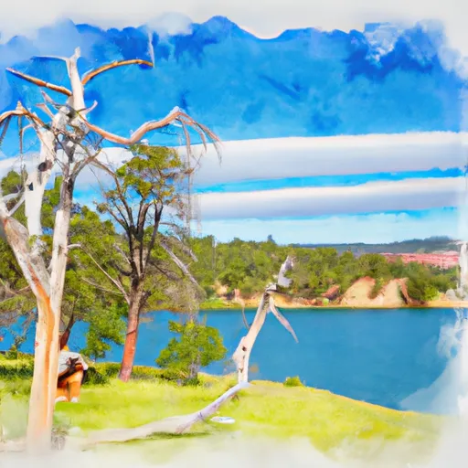 Eagle Nest Lake State Park
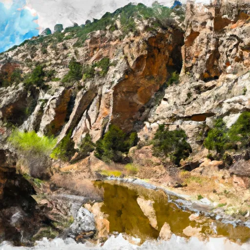 Cimarron Canyon State Park
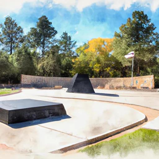 Vietnam Veterans' Memorial State Park
 Columbine Creek Fishing
 Shuree Lakes Fishing
 Rio Grande Fishing
 Rio Fernando Fishing
 Rio Chiquito Fishing
 Continue with Snoflo Premium