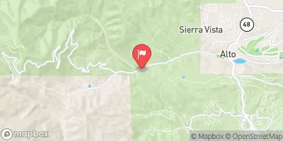
Summary
The ideal streamflow range for this run is between 500-1200 cfs, with the best time to go being in the early summer months.
This 9-mile segment is rated as a class III-IV run, with several technical rapids and obstacles such as "Boulder Garden" and "The Narrows." It is important to note that this run is best suited for experienced paddlers and requires proper safety equipment.
There are specific regulations in place for this area, including a permit requirement for commercial outfitters and a prohibition on camping within 300 feet of the river. It is also important to respect private property boundaries along the river.
°F
°F
mph
Wind
%
Humidity
15-Day Weather Outlook
River Run Details
| Last Updated | 2026-02-07 |
| River Levels | 16 cfs (1.71 ft) |
| Percent of Normal | 52% |
| Status | |
| Class Level | iii-iv |
| Elevation | ft |
| Streamflow Discharge | cfs |
| Gauge Height | ft |
| Reporting Streamgage | USGS 08397600 |
5-Day Hourly Forecast Detail
Nearby Streamflow Levels
Area Campgrounds
| Location | Reservations | Toilets |
|---|---|---|
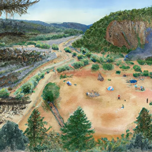 Hoosier Canyon
|
||
 Prestridge Hill / Hay Canyon
|
||
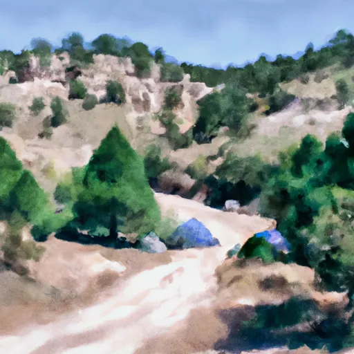 Bluff Springs
|
River Runs
-
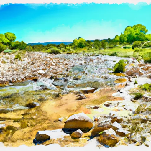 Confluence Of Western Headwaters (Sec 36, T18S, R12E) To Northern Boundary Of Private Land
-
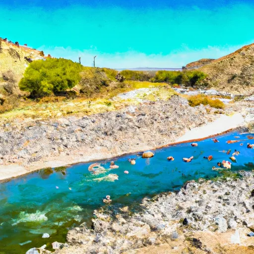 Northern Boundary Of Sec 25, T18S, R11E To Confluence Of Sacramento River And Apple Tree Canyon
-
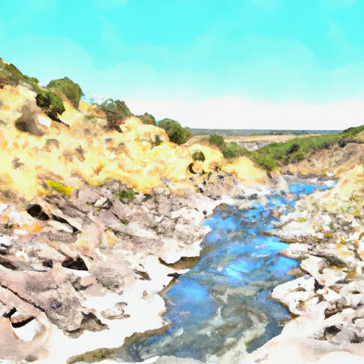 Headwaters Rio Penasco, Water Canyon And Benson Canyon To Confluence Of Benson Canyon And Rio Penasco Sec 10, T17S, R12E


