Northern Boundary Of Sec 25, T18s, R11e To Confluence Of Sacramento River And Apple Tree Canyon Paddle Report
Last Updated: 2026-02-07
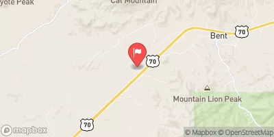
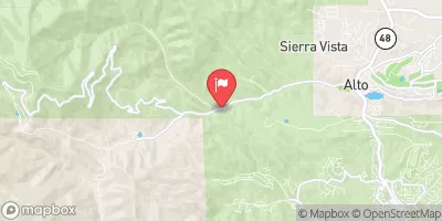
The Whitewater River run, located in the state of New Mexico, begins at the Northern Boundary of Sec 25, T18S, R11E and flows to the confluence of Sacramento River and Apple Tree Canyon.
Summary
The ideal streamflow range for this stretch of the river is between 500-1000 cfs. The class rating for this segment is class III-IV, which requires advanced skills and experience to navigate. The segment mileage is approximately 6 miles, and it contains specific river rapids and obstacles such as the Big Arroyo and Apple Tree Rapid.
The regulations for this area include obtaining a permit from the Bureau of Land Management, adhering to Leave No Trace principles, and practicing responsible recreation. It is important to note that this area is within the Mescalero Apache Reservation, and visitors should respect the cultural and natural resources of the area.
Multiple sources confirm the accuracy of this information, including the Bureau of Land Management's website and various whitewater guidebooks. It is important for visitors to research and prepare adequately before embarking on this challenging whitewater run.
°F
°F
mph
Wind
%
Humidity
15-Day Weather Outlook
River Run Details
| Last Updated | 2026-02-07 |
| River Levels | 8 cfs (2.01 ft) |
| Percent of Normal | 80% |
| Status | |
| Class Level | iii-iv |
| Elevation | ft |
| Streamflow Discharge | cfs |
| Gauge Height | ft |
| Reporting Streamgage | USGS 08481500 |
5-Day Hourly Forecast Detail
Nearby Streamflow Levels
Area Campgrounds
| Location | Reservations | Toilets |
|---|---|---|
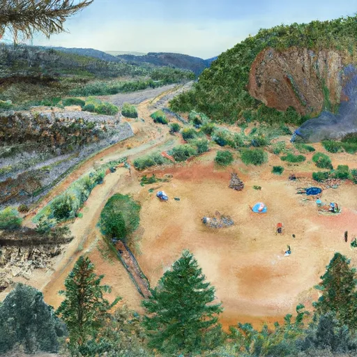 Hoosier Canyon
|
||
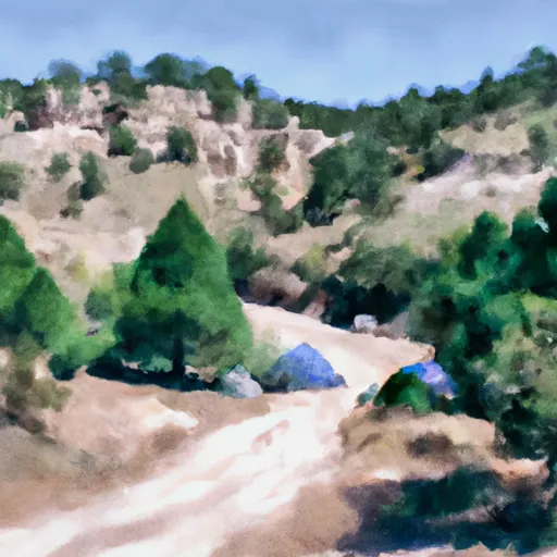 Bluff Springs
|
||
 Prestridge Hill / Hay Canyon
|
||
 Oliver Lee State Park
|
||
 Alamo Peak Road
|
||
 Upper Karr Canyon
|
River Runs
-
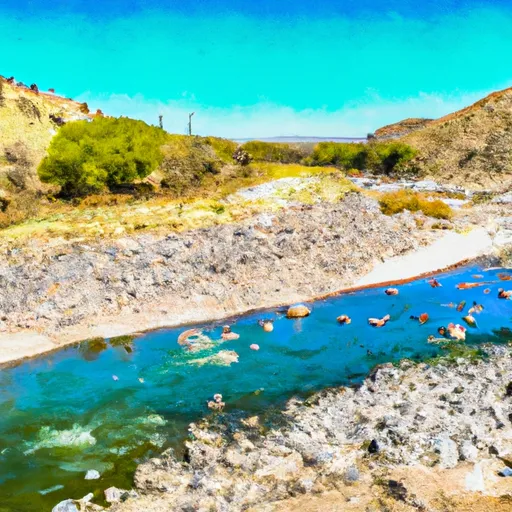 Northern Boundary Of Sec 25, T18S, R11E To Confluence Of Sacramento River And Apple Tree Canyon
-
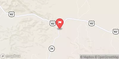
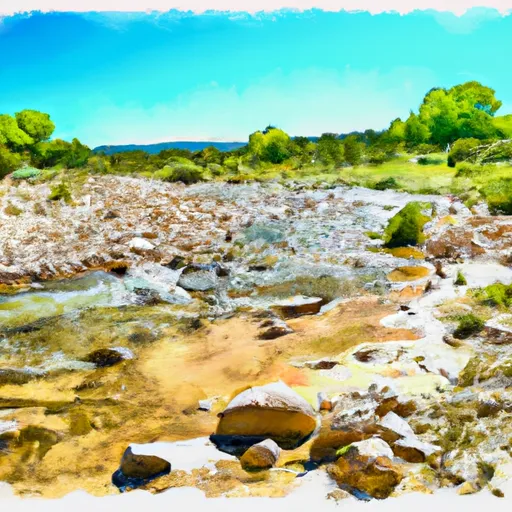 Confluence Of Western Headwaters (Sec 36, T18S, R12E) To Northern Boundary Of Private Land
-
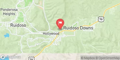
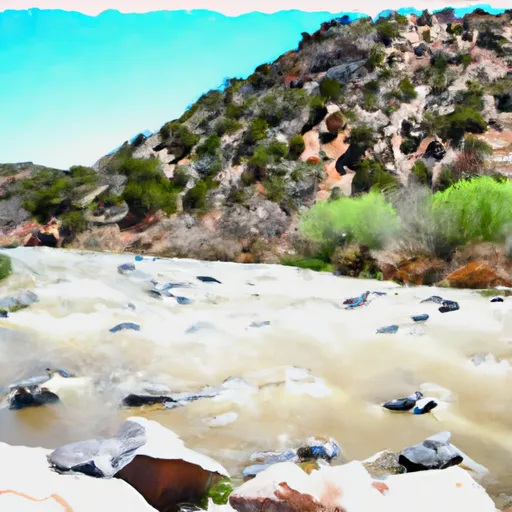 Eastern Boundary Sec 12, T18S, R10E To Nf Boundary At Oliver Lee State Park
-
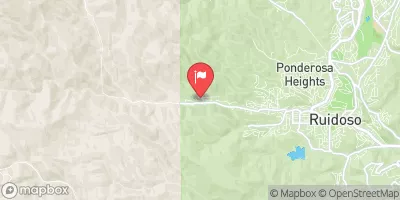
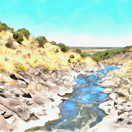 Headwaters Rio Penasco, Water Canyon And Benson Canyon To Confluence Of Benson Canyon And Rio Penasco Sec 10, T17S, R12E


