Summary
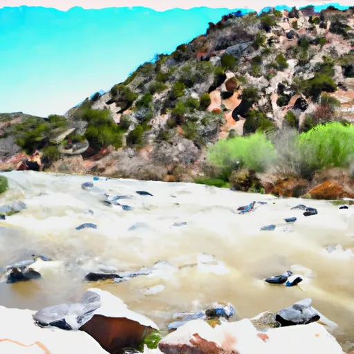
The ideal streamflow range for this river is between 300 and 500 cubic feet per second (cfs). The segment mileage is approximately 8.3 miles and is rated as a Class II to Class III. The river rapids and obstacles include small drops, narrow chutes, and boulder gardens.
There are specific regulations in place for the Whitewater River Run. The area is managed by the Bureau of Land Management and a permit is required to run this section of the river. All boaters must wear a personal flotation device and carry a whistle. Additionally, camping is only allowed in designated areas.
It is important to note that water levels can change quickly in this area due to rain and snowmelt. Boaters should always check the current streamflow before entering the river and be prepared for changing conditions.
Overall, the Whitewater River Run is a thrilling adventure for experienced boaters. It is important to follow all regulations and safety guidelines to ensure a safe and enjoyable experience.
°F
°F
mph
Wind
%
Humidity
15-Day Weather Outlook
River Run Details
| Last Updated | 2026-02-07 |
| River Levels | 8 cfs (2.01 ft) |
| Percent of Normal | 80% |
| Status | |
| Class Level | ii-iii |
| Elevation | ft |
| Streamflow Discharge | cfs |
| Gauge Height | ft |
| Reporting Streamgage | USGS 08481500 |
5-Day Hourly Forecast Detail
Nearby Streamflow Levels
Area Campgrounds
| Location | Reservations | Toilets |
|---|---|---|
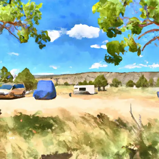 Oliver Lee State Park
|
||
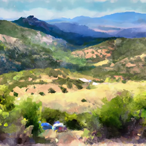 Alamo Peak Road
|
||
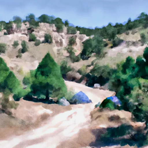 Bluff Springs
|
||
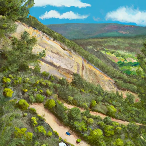 Upper Karr Canyon
|
||
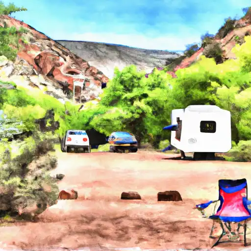 Lower Karr Canyon
|
||
 Lower Karr Canyon Campground
|


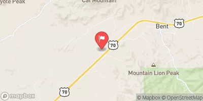
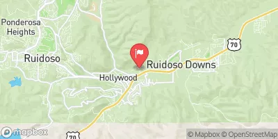
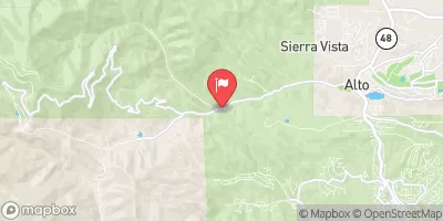
 Eastern Boundary Sec 12, T18S, R10E To Nf Boundary At Oliver Lee State Park
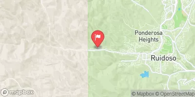
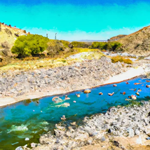 Northern Boundary Of Sec 25, T18S, R11E To Confluence Of Sacramento River And Apple Tree Canyon
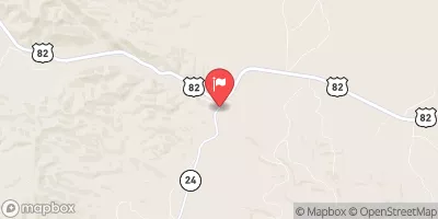
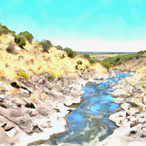 Headwaters Rio Penasco, Water Canyon And Benson Canyon To Confluence Of Benson Canyon And Rio Penasco Sec 10, T17S, R12E