Summary
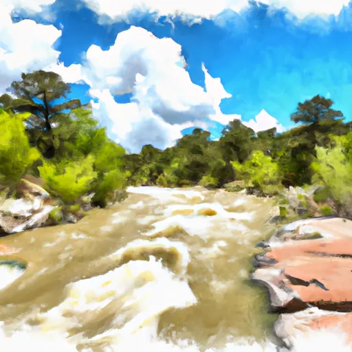
The ideal streamflow range for this river is between 300 and 1,000 cubic feet per second (cfs) during the spring runoff season. The river has a class rating of III to IV and contains several challenging rapids, including Razorback, Horseshoe, and The Slide. These rapids are characterized by steep drops, narrow channels, and large boulders. Paddlers should be experienced and have appropriate safety gear.
The segment mileage of the Rio Nutrias is divided into two sections. The upper section is approximately 5 miles long and has a class rating of III. The lower section is approximately 8 miles long and has a class rating of IV. The upper section is characterized by technical rapids and narrow channels, while the lower section has more open channels with larger drops.
There are specific regulations to the area which include obtaining a permit from the Bureau of Land Management (BLM) before paddling the river. Additionally, camping is only allowed in designated areas along the river, and campfires are prohibited. Paddlers should also be aware of private property boundaries and respect them.
Overall, the Rio Nutrias is a challenging and exciting whitewater experience for experienced paddlers. It is important to check streamflow levels and obtain necessary permits before embarking on this adventure.
°F
°F
mph
Wind
%
Humidity
15-Day Weather Outlook
River Run Details
| Last Updated | 2025-06-28 |
| River Levels | 906 cfs (3.37 ft) |
| Percent of Normal | 92% |
| Status | |
| Class Level | None |
| Elevation | ft |
| Streamflow Discharge | cfs |
| Gauge Height | ft |
| Reporting Streamgage | USGS 08285500 |


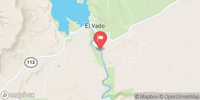
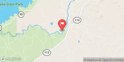
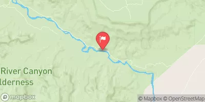
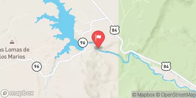
 Rio Nutrias