Wilderness Weminuche
Community Reviews
Been here? Share the conditions.
Reviews, ratings & photos are added in the free Snoflo iOS app — rate a spot, tag the conditions, and your visit is verified by location. Add or manage your reviews from the app.

Wilderness Weminuche
Reasons to Visit:
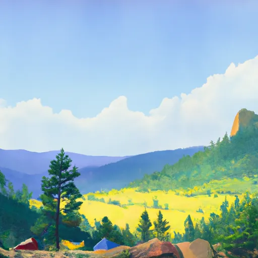
1. Scenic Beauty: The Weminuche Wilderness boasts breathtaking landscapes, including towering peaks, deep canyons, alpine meadows, and crystal-clear lakes. Its picturesque scenery is a photographer's dream.
2. Outdoor Recreation: The wilderness offers a plethora of recreational activities, such as hiking, backpacking, camping, fishing, horseback riding, and wildlife watching. With over 500 miles of trails, outdoor enthusiasts will find endless opportunities for adventure.
3. Solitude and Serenity: As one of the largest wilderness areas in Colorado, Weminuche provides a chance to escape the crowds and immerse oneself in nature. It offers a remote and tranquil experience for those seeking solitude.
Points of Interest:
1. Continental Divide: The Weminuche Wilderness is home to a section of the Continental Divide, a remarkable geological feature that separates the water drainage of the Pacific Ocean and the Atlantic Ocean.
2. San Juan Mountains: This wilderness encompasses a significant portion of the scenic San Juan Mountains, known for their jagged peaks, including the iconic 14,000-foot Mount Eolus.
3. Animas River: The Animas River, renowned for its stunning turquoise waters, runs through the wilderness and offers opportunities for fishing and river rafting.
Interesting Facts:
1. Weminuche Wilderness spans over 488,000 acres and is the largest designated wilderness area in Colorado.
2. It was established in 1975 and is managed by the U.S. Forest Service to preserve its natural and scenic values.
3. The area is rich in biodiversity, hosting a wide range of wildlife, including elk, black bears, mountain lions, mule deer, and various bird species.
Best Time to Visit:
The best time to visit the Weminuche Wilderness is typically during the summer months (June to September). This period offers mild temperatures, longer daylight hours, and open trails for hiking and camping. However, it's worth noting that weather conditions can be unpredictable in the mountains, and snow may persist at higher elevations well into summer.
To ensure accuracy, it is advisable to verify the information provided across multiple independent sources.
Streamflow in Wilderness Weminuche
Live USGS discharge at streamgauges inside the park boundary.
Snowpack in Wilderness Weminuche
Current snow depth at SNOTEL stations inside the park boundary.
Trails in Wilderness Weminuche
Named trails whose route falls inside the park.
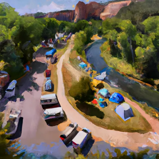
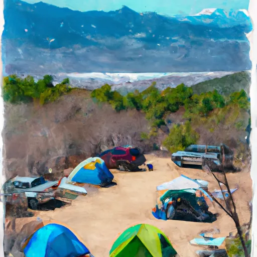
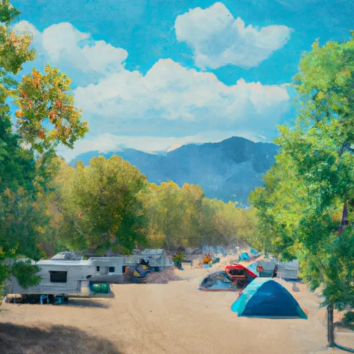
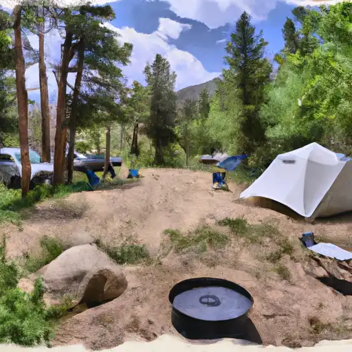
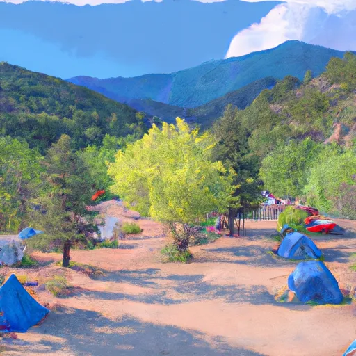
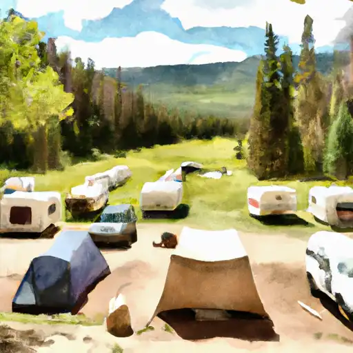
Camping in Wilderness Weminuche
Campgrounds inside the park, with today's conditions score.


Plan your visit down to the hour
Same weather feed Snoflo's iOS app uses -- updated continuously from NOAA / yr.no.
Next 5 days, hour by hour
Temperature line with weather symbols on top, snow + rain accumulation as columns, humidity as a dotted line.
5-day forecast table
Every 3 hours, broken out across temperature, snow, rain, humidity, and wind.
| Time | Condition | Temp (°F) | Snow (in) | Rain (in) | Humidity (%) | Wind (mps) | Wind dir |
|---|---|---|---|---|---|---|---|
| Loading detailed forecast… | |||||||
15-day temperature & precipitation
Daily temperatures, snow, and rain projected over the next two weeks.
Responsible recreation & Leave No Trace
- Know before you go
- Check the operator's site for hours, permit requirements, seasonal closures, and fire restrictions before heading out.
- Stay on trail
- Stick to marked paths to protect vegetation, prevent erosion, and avoid disturbing wildlife habitat.
- Respect wildlife
- Observe from a distance, never feed wildlife, and store food securely if camping is permitted on-site.
- Pack it in, pack it out
- Carry out all trash, food scraps, and gear. Many parks have limited or no trash service.
- Leave what you find
- Don't take rocks, plants, or artifacts. They make the park what it is for the next visitor.
Set push alerts in the Snoflo app
Save Wilderness Weminuche as a favorite, set a custom threshold (precipitation, freezing temperatures, fire-restriction days), and the iOS app will push the moment conditions cross.
About Wilderness Weminuche
What can I do at Wilderness Weminuche?
Most Snoflo-tracked parks support hiking, picnicking, and wildlife viewing. Check the operator's site for activity-specific rules (camping, fishing, paddling, hunting).
How fresh is the weather data?
The hourly forecast updates throughout the day from NOAA / yr.no. Streamflow comes live from USGS streamgauges.
When is the best time to visit?
Use the 15-day temperature & precipitation outlook on this page to plan -- pick a window with comfortable temperatures and low precipitation.
How do I get to Wilderness Weminuche?
Tap Directions in the hero above to open driving directions in Google Maps, or Open in map to center the Snoflo interactive map on the park.
Can I get alerts when conditions change?
Yes -- alerts are managed in the Snoflo iOS app. Favorite this park, set a threshold (temperature, precipitation), and you'll get a push the moment it crosses.
Park & land designation reference
A quick legend for the federal and state land categories Snoflo tracks. Each designation comes with different rules around access, recreation, and resource extraction.
- National Park
- Large protected natural areas managed by the federal government to preserve significant landscapes, ecosystems, and cultural resources; recreation is allowed but conservation is the priority.
- State Park
- Public natural or recreational areas managed by a state government, typically smaller than national parks and focused on regional natural features, recreation, and education.
- Local Park
- Community-level parks managed by cities or counties, emphasizing recreation, playgrounds, sports, and green space close to populated areas.
- Wilderness Area
- The highest level of land protection in the U.S.; designated areas where nature is left essentially untouched, with no roads, structures, or motorized motorized access permitted.
- National Recreation Area
- Areas set aside primarily for outdoor recreation (boating, hiking, fishing, often around reservoirs, rivers, or scenic landscapes); may allow more development.
- National Conservation Area (BLM)
- BLM-managed areas with special ecological, cultural, or scientific value; more protection than typical BLM land but less strict than Wilderness Areas.
- State Forest
- State-managed forests focused on habitat, watershed, recreation, and sustainable timber harvest.
- Bureau of Land Management (BLM) Land
- Vast federal lands managed for mixed use -- recreation, grazing, mining, conservation -- with fewer restrictions than national parks or forests.