Eastern Boundary Of Private Land In Sec 2, T25s, R22e To Confluence Of Turkey And Dark Canyons In Sec 26, T24s, R22e river run
Eastern Boundary Of Private Land In Sec 2, T25s, R22e To Confluence Of Turkey And Dark Canyons In Sec 26, T24s, R22e
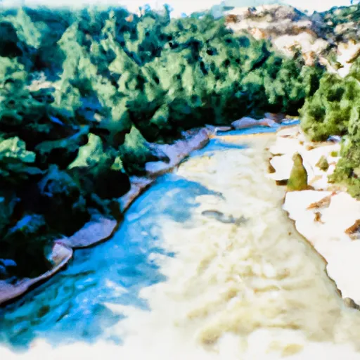
The segment mileage for this run is approximately 11 miles, and it is rated as a class III-IV. This run is known for its technical rapids, including Boxcar, Corkscrew, and Souse Hole. The run also features several obstacles, including large boulders and rock gardens.
There are specific regulations to this area, including a limit of 25 people per group on the river at any given time. Additionally, all boaters must have a valid permit, which can be obtained through the Bureau of Land Management. It is also important to note that this run is located on private land, so boaters must respect the property rights of the landowners.
In summary, the Whitewater River Run in New Mexico is a challenging and technical class III-IV run with several obstacles and rapids. The ideal streamflow range is between 300-600 cfs, and there are specific regulations in place, including group size limits and the requirement of a valid permit. Boaters must also respect the rights of the landowners as this run is located on private land.
Plan your run down to the hour
Same weather feed Snoflo's iOS app uses -- updated continuously from NOAA / yr.no. Watch the precipitation column on the meteogram; rain ahead of a run typically lifts flows 12-48 hours later depending on the basin.
Next 5 days, hour by hour
Temperature line with weather symbols on top, snow + rain accumulation as columns, humidity as a dotted line.
5-day forecast table
Every 3 hours, broken out across temperature, snow, rain, humidity, and wind. Each cell is colour-coded relative to the column min/max.
| Time | Condition | Temp (°F) | Snow (in) | Rain (in) | Humidity (%) | Wind (mps) | Wind dir |
|---|---|---|---|---|---|---|---|
| Loading detailed forecast… | |||||||
15-day temperature & precipitation
Daily temperatures, snow, and rain projected over the next two weeks -- the upstream story that drives next week's flows.
Regional streamflow levels
USGS streamgauges around Eastern Boundary Of Private Land In Sec 2, T25s, R22e To Confluence Of Turkey And Dark Canyons In Sec 26, T24s, R22e -- useful for spotting upstream pulses and gauging which tributary is contributing what.
| Streamgauge | Discharge | View |
|---|---|---|
| Dark Canyon Draw Near Whites City | · | → |
| Rocky Arroyo At Hwy Brd Nr Carlsbad | · | → |
| Dark Canyon At Carlsbad | · | → |
| Pecos R At Damsite 3 Nr Carlsbad | 206 cfs | → |
| Black River Above Malaga | 4 cfs | → |
| Pecos River Below Brantley Dam Near Carlsbad | 233 cfs | → |
Plan a longer trip
The closest boat launches, other paddle runs, and campgrounds so a day on the water can grow into a full weekend.
Other river runs
- Confluence Of Turkey Canyon And Robinson Draw (Sec 33, T24s, R22e) To Confluence Of Turkey And Dark Canyons In Sec 26, T24s, R22e
- Headwaters In Sec 12, T25s, R22e To Payne Canyon In Sec 1, T25s, R22e
- Confluence Of Horse Canyon Headwaters In Sec 11, T25s, R22e To Confluence Of Horse And Payne Canyons In Sec 1, T25s, R22e
- Headwaters Of Side Channel In Sec 12, T25s, R22e To Horse Canyon In Sec 2, T25s, R22e
- Headwaters Of Horse Spring In Sec 13, T25s, R22e To Confluence Of Horse Spring And Horse Canyon In Sec 11, T25s, R22e
Campgrounds
- Wilderness Ridge Campground
- Chosa Campground
- Parks Ranch Dispersed
- Dog Canyon Campground
- Dog Canyon - Guadalupe Mountains National Park
- Mckittrick Ridge Campground
Whitewater safety
- Check the flow before you run
- Use the linked-gauge card and Regional Flow panel above. Class ratings change with flow -- a Class III at low water can become Class IV+ at high water.
- Know your skill ceiling
- Pick runs comfortably below your ceiling. Cold-water and big-water runs raise the consequences of any mistake.
- Wear the right gear
- Helmet, PFD, drysuit / wetsuit when water is below 60°F. Throw bag, knife, and whistle on your person, not in the boat.
- Scout, set safety, and run with a team
- Scout new rapids on foot, set safety with throw bags above the consequence pool, and run with at least one other competent paddler.
- Respect the river
- Strainers, undercuts, low-head dams, and wood can kill at any class rating. When in doubt, portage.
Set push alerts in the Snoflo app
Save Eastern Boundary Of Private Land In Sec 2, T25s, R22e To Confluence Of Turkey And Dark Canyons In Sec 26, T24s, R22e as a favorite, set a discharge threshold (e.g. "alert me when flow hits 600 cfs"), and the iOS app pushes the moment the linked gauge crosses.
About Eastern Boundary Of Private Land In Sec 2, T25s, R22e To Confluence Of Turkey And Dark Canyons In Sec 26, T24s, R22e
What's the optimal flow for Eastern Boundary Of Private Land In Sec 2, T25s, R22e To Confluence Of Turkey And Dark Canyons In Sec 26, T24s, R22e?
The optimal flow depends on the section and the craft. Check the Run Details panel for the linked gauge and current status.
How fresh is the cfs reading on this page?
The linked USGS streamgauge reports continuously (every 15 minutes); Snoflo refreshes throughout the day. Hover the streamflow sparkline to read individual datapoints.
What's the whitewater class?
See the Run Details panel for the class rating Snoflo tracks for this run. Class ratings change with flow -- a Class III at low water can become Class IV in high water.
Where do I put in / take out?
Tap Directions in the hero above to open driving directions to the put-in. For shuttle planning, check the Nearby Boat Launches panel and the river run operator's site.
Can I get alerts when flows hit the optimal range?
Yes -- alerts are managed in the Snoflo iOS app. Favorite this run, set a discharge threshold, and you'll get a push the moment the gauge crosses.
Other runs near here
Snoflo-tracked paddle runs within driving distance of Eastern Boundary Of Private Land In Sec 2, T25s, R22e To Confluence Of Turkey And Dark Canyons In Sec 26, T24s, R22e.