Summary
The ideal streamflow range for this segment of the river is between 200 and 800 cubic feet per second (cfs), with higher flows being more challenging and potentially dangerous. The class rating for this segment is Class III-IV, which is considered advanced and requires experienced paddlers. The segment mileage is approximately 10 miles, with several notable rapids and obstacles, including "Entrance Exam," "Pinball," and "Sweet Revenge."
In terms of regulations, there are no specific permits required for paddling this segment of the Whitewater River. However, visitors should be aware of the regulations for the Uwharrie National Forest, which encompasses the area surrounding the river. These regulations include restrictions on camping, fires, and littering, as well as guidelines for protecting wildlife and vegetation. Visitors should also be mindful of private property along the river and respect the rights of landowners. Overall, the Whitewater River Run Headwaters segment offers a challenging and scenic whitewater experience for experienced paddlers.
°F
°F
mph
Wind
%
Humidity
15-Day Weather Outlook
River Run Details
| Last Updated | 2026-02-07 |
| River Levels | 16 cfs (1.46 ft) |
| Percent of Normal | 6% |
| Status | |
| Class Level | iii-iv |
| Elevation | ft |
| Streamflow Discharge | cfs |
| Gauge Height | ft |
| Reporting Streamgage | USGS 02128000 |
5-Day Hourly Forecast Detail
Nearby Streamflow Levels
 Little River Near Star
|
10cfs |
 Rocky River Near Norwood
|
191cfs |
 Deep River At Ramseur
|
82cfs |
 Abbotts Creek At Lexington
|
47cfs |
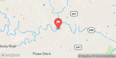 Rocky R Ab Irish Buffalo Cr Nr Rocky River
|
78cfs |
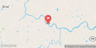 Rocky River Nr Stanfield
|
173cfs |
Area Campgrounds
| Location | Reservations | Toilets |
|---|---|---|
 West Morris Mtn. Campground
|
||
 West Morris Mtn.
|
||
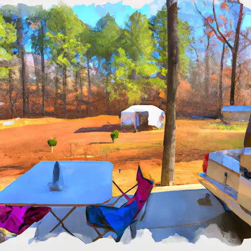 Uwharrie Hunt Camp
|
||
 East Morris Mountain
|
||
 Arrowhead Campground
|
||
 Arrowhead
|


 Cove Boat Ramp
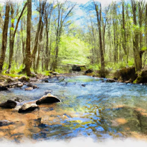 Headwaters 1 Mile Above Montgomery County Line To Confluence With Uwharrie River
 Headwaters South Of High Point And Guilford County Line To Confluence With Pee Dee River
 Morrow Mountain State Park
 Chuck Moorehead Park
 East Cannon Park
 Wilderness Birkhead Mountains
 Charles Cannon Park