Summary
°F
°F
mph
Wind
%
Humidity
15-Day Weather Outlook
River Run Details
| Last Updated | 2026-02-07 |
| River Levels | 891 cfs (5.74 ft) |
| Percent of Normal | 40% |
| Status | |
| Class Level | None |
| Elevation | ft |
| Run Length | 9.0 Mi |
| Streamflow Discharge | cfs |
| Gauge Height | ft |
| Reporting Streamgage | USGS 07196500 |
5-Day Hourly Forecast Detail
Nearby Streamflow Levels
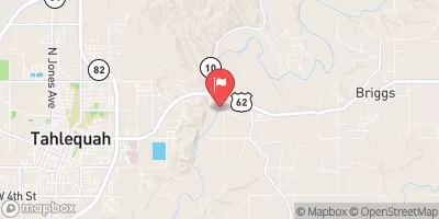 Illinois River Near Tahlequah
|
399cfs |
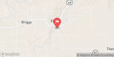 Baron Fork At Eldon
|
59cfs |
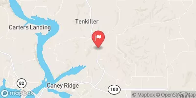 Caney Creek Near Barber
|
13cfs |
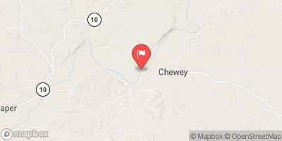 Illinois River At Chewey
|
316cfs |
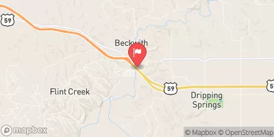 Flint Creek Near Kansas
|
33cfs |
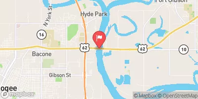 Arkansas River Near Muskogee
|
2940cfs |


 Carters Landing - Tenkiller Ferry Lake
 Cherokee Landing State Park
 Elk Creek Landing - Tenkiller Ferry Lake
 Standing Rock - Tenkiller Ferry Lake
 Petit Bay - Tenkiller Ferry Lake
 Tahlequah Water Supply Plant To Horseshoe Bend