Summary
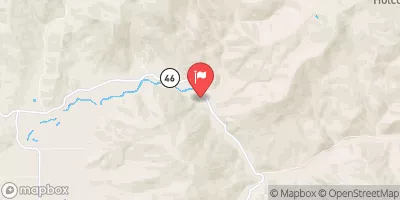
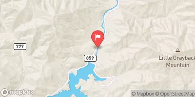
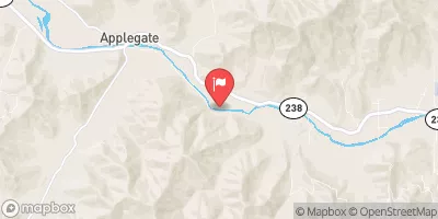
This run is a class III-IV rapids level with an ideal streamflow range of 800-1500 cfs. The segment mileage of this run is approximately 6.5 miles.
There are several specific river rapids and obstacles on this run, including The Slot, which is a narrow chute with a drop into a large hole, and The S-Turn, which is a technical rapid with a series of turns. Other notable rapids include The Narrows, The Funnel, and The Hammer.
There are specific regulations to the area that should be followed, including wearing personal flotation devices at all times, having a whistle on hand, and avoiding alcohol or drugs while on the river. Additionally, it is important to follow Leave No Trace principles and pack out all trash and waste.
°F
°F
mph
Wind
%
Humidity
15-Day Weather Outlook
River Run Details
| Last Updated | 2026-02-11 |
| River Levels | 146 cfs (1.63 ft) |
| Percent of Normal | 50% |
| Status | |
| Class Level | iii-iv |
| Elevation | ft |
| Run Length | 4.0 Mi |
| Streamflow Discharge | cfs |
| Gauge Height | ft |
| Reporting Streamgage | USGS 14375100 |
5-Day Hourly Forecast Detail
Nearby Streamflow Levels
 Sucker Cr Bl Lt Grayback Cr Nr Holland
|
116cfs |
 Applegate River Near Copper
|
175cfs |
 Applegate River Near Applegate
|
211cfs |
 Star Gulch Near Ruch
|
1cfs |
 Indian C Nr Happy Camp Ca
|
253cfs |
 Illinois River Near Kerby
|
988cfs |
Area Campgrounds
| Location | Reservations | Toilets |
|---|---|---|
 Cave Creek
|
||
 Chinquapin Group Campground
|
||
 Grayback
|
||
 Greyback campground
|
||
 Bolan Lake
|
||
 Bolan Lake Campground
|


 Headwaters To Forest Road 960
 Headwaters At 4800 Ft Contour Line To Boundary Of The Cave/Underground River Styx.