2026-02-18T14:00:00-07:00
* WHAT...Snow expected. There is a likelihood of minor winter weather impacts. Total snow accumulations between 1 and 3 inches. * WHERE...Elk City, Highway 12 Lowell to Lolo Pass, and Dixie. * WHEN...From 11 PM this evening to 1 PM PST Wednesday. * IMPACTS...Winter traveling conditions. For MINOR winter weather impacts, expect a few inconveniences to normal activities. Use caution while driving. The hazardous conditions could impact the Wednesday morning commute, especially over higher passes.
Summary
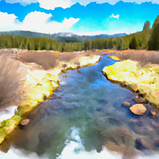
The ideal streamflow range for this run is between 600-1800 cfs. The segment mileage includes four distinct sections, with the upper section being the most challenging due to its steep gradient and boulder gardens. The middle section has more continuous rapids and is more technical, while the lower section has larger waves and holes.
Some of the specific rapids and obstacles on this run include "S-Turn," "Tunnel Vision," and "The Sieve." The S-Turn is a series of tight turns through a boulder garden. Tunnel Vision is a narrow chute with a tight right-hand turn at the bottom that requires precise navigation. The Sieve is a dangerous rapid that requires expert-level skills to navigate safely.
Specific regulations for this area include a permit requirement for commercial outfitters and a limit of 12 people per party. Additionally, all boaters must wear a personal flotation device and have a throwable flotation device on board. The use of alcohol and drugs is strictly prohibited on this run.
Overall, the Whitewater River Run from Headwaters to Confluence with Vance Creek at Payette NF Boundary is a challenging and exciting run that requires advanced skills and experience. Boaters should be aware of the specific regulations and safety requirements before embarking on this adventure.
°F
°F
mph
Wind
%
Humidity
15-Day Weather Outlook
River Run Details
| Last Updated | 2025-02-06 |
| River Levels | 23000 cfs (67.93 ft) |
| Percent of Normal | 136% |
| Status | |
| Class Level | iii-v |
| Elevation | ft |
| Streamflow Discharge | cfs |
| Gauge Height | ft |
| Reporting Streamgage | USGS 13290450 |
5-Day Hourly Forecast Detail
Nearby Streamflow Levels
Area Campgrounds
| Location | Reservations | Toilets |
|---|---|---|
 Hazard Lake
|
||
 Hazard Lake Campground
|
||
 Smokey Boulder Camping Area
|
||
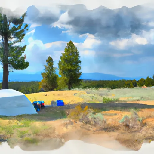 Goose Lake Camping Area
|
||
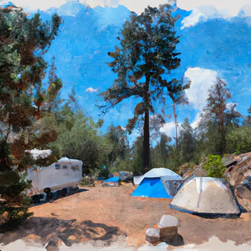 Grouse Campground
|
||
 Grouse
|


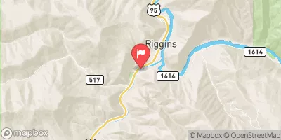


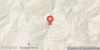
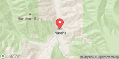
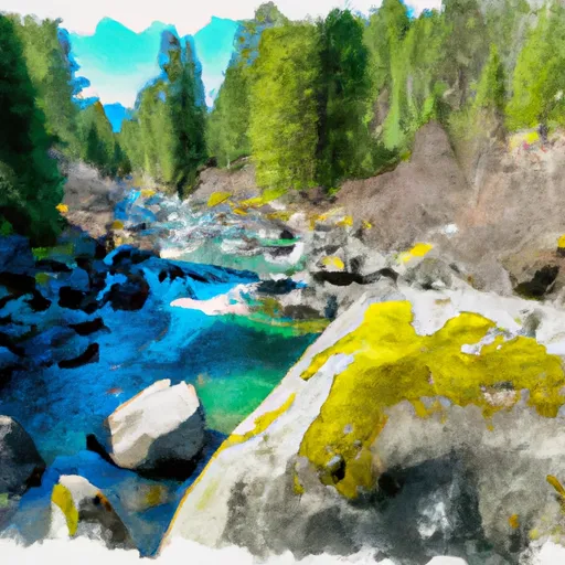 Headwaters To Confluence With Vance Creek At Payette Nf Boundary
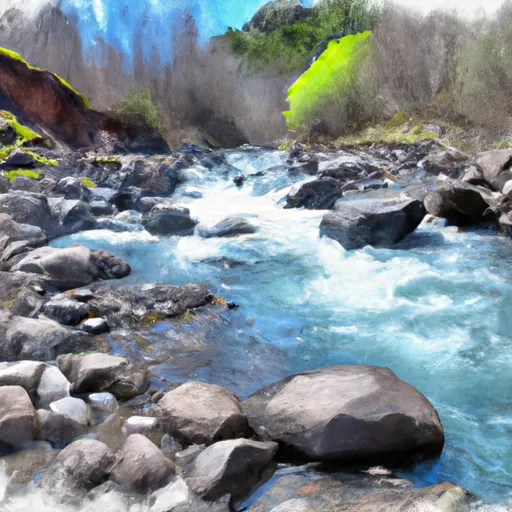 Hard Creek
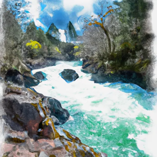 Hazard Creek
 Headwaters At Hard Creek Lake To Payette Nf Boundary