2026-02-15T22:00:00-08:00
* WHAT...Sneaker waves possible. * WHERE...North and Central Coast of Oregon, and South Washington Coast. * WHEN...From late Thursday night through Sunday evening. * IMPACTS...Waves can run up significantly farther on a beach than normal, including over rocks and jetties. Sneaker waves can suddenly knock people off of their feet and quickly pull them into the frigid ocean which may lead to serious injury or drowning. * ADDITIONAL DETAILS...Caution should be used when in or near the water, especially those who will be razor clamming. Keep children and pets away from the surf zone. Keep off of jetties, rocks and logs near the surf zone. If you see someone swept into the sea do not swim in after them. Call 911 and keep an eye on them until help arrives.
Summary
This segment has a total distance of 8 miles and is rated as a class III-IV, making it suitable for intermediate to advanced paddlers.
The ideal streamflow range for this section of the river is between 800 to 2,000 cubic feet per second (cfs). Anything below 800 cfs may result in shallow and rocky areas, while anything above 2,000 cfs may become dangerous and challenging for even experienced paddlers.
Some of the notable rapids and obstacles in this section include Staircase, The Chute, and Big Drop. Staircase is a series of drops and ledges that require careful navigation, while The Chute is a narrow channel with steep drops that require precise maneuvers. Big Drop is the most challenging rapid in this segment, with a steep, technical drop that requires advanced paddling skills.
There are specific regulations that paddlers must adhere to in this area. For instance, all paddlers are required to wear personal flotation devices (PFDs) at all times while on the river. Additionally, paddlers are not allowed to camp along the riverbanks in this section.
Overall, the RM 7 to RM 15 segment of the Whitewater River is a thrilling and challenging destination for experienced paddlers. It's important to check the streamflow levels before embarking on this journey and to be familiar with the area's regulations to ensure a safe and enjoyable experience.
°F
°F
mph
Wind
%
Humidity
15-Day Weather Outlook
River Run Details
| Last Updated | 2026-02-07 |
| River Levels | 149 cfs (4.7 ft) |
| Percent of Normal | 29% |
| Status | |
| Class Level | iii-iv |
| Elevation | ft |
| Streamflow Discharge | cfs |
| Gauge Height | ft |
| Reporting Streamgage | USGS 14303600 |
5-Day Hourly Forecast Detail
Nearby Streamflow Levels
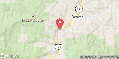 Nestucca River Near Beaver
|
1220cfs |
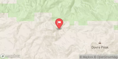 Tucca Creek Near Blaine
|
23cfs |
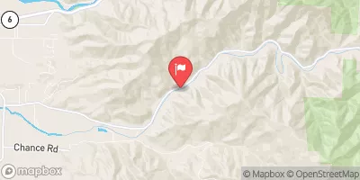 Trask River Above Cedar Creek
|
1320cfs |
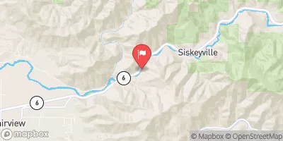 Wilson River Near Tillamook
|
1460cfs |
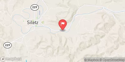 Siletz River At Siletz
|
2150cfs |
 South Yamhill River At Mcminnville
|
2820cfs |
Area Campgrounds
| Location | Reservations | Toilets |
|---|---|---|
 Woods County Park
|
||
 Webb County Park
|
||
 Castle Rock Group Campground
|
||
 Castle Rock Campground
|
||
 Hebo Lake
|
||
 Hebo Lake Campground
|


 Oregon Coast Highway Cloverdale
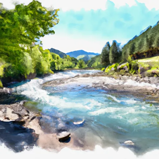 Rm 7 To Rm 15 (Town Of Beaver)
 Rm 15 To Rm 26 (Above Confluence Of Limestone Creek)
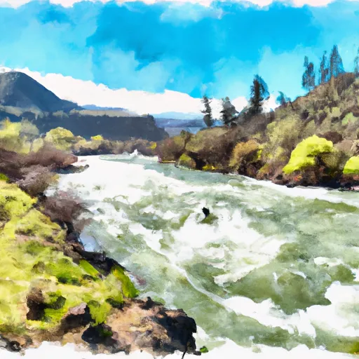 Rm 26 To Rm 32 Confluence With Wsr
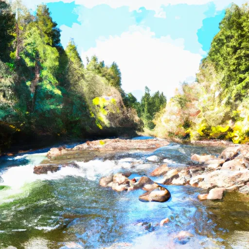 South Yamhill River
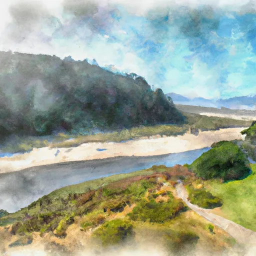 Bob Straub State Park
 Clay Myers State Natural Area
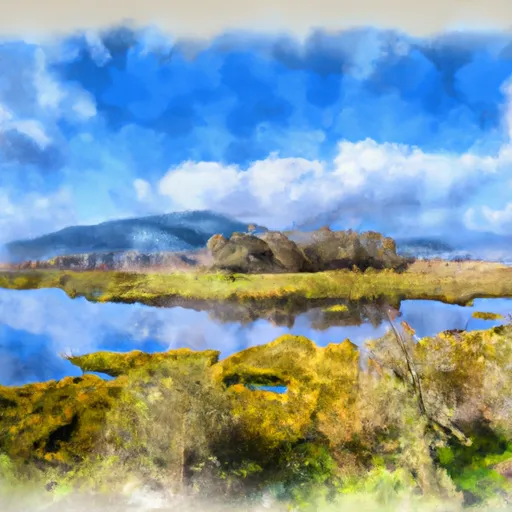 Nestucca Bay National Wildlife Refuge
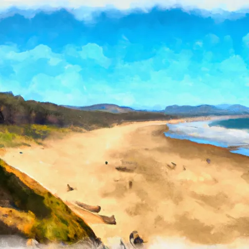 Neskowin Beach State Recreation Site
 Cape Lookout State Park