Summary
The ramp is approximately 14 feet wide and has a moderate slope, making it suitable for most types of watercraft, including small boats, kayaks, and canoes. However, larger boats might have difficulty accessing the ramp due to its narrow width.
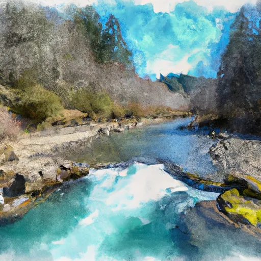
The boat ramp at Carnahan Park services the Tualatin River, which is a popular destination for recreational boaters in the area. The Tualatin River is approximately 83.5 miles long and is known for its scenic beauty, diverse wildlife, and excellent fishing opportunities. The river is also popular for swimming, kayaking, and canoeing.
The park authorities have listed guidelines for watercraft usage on the Tualatin River, which include:
1. All watercraft must be registered and display valid tags.
2. Watercraft should be operated at a safe speed and in a controlled manner to avoid collisions with other watercraft and hazards.
3. Watercraft should yield to non-motorized watercraft, swimmers, and other vessels when appropriate.
4. Watercraft should avoid sensitive areas, such as wildlife habitats, nesting areas, and sensitive plant species.
In conclusion, Carnahan Park boat ramp in Oregon is a concrete, single-lane boat ramp suitable for most types of watercraft, servicing the Tualatin River, a popular recreational destination for boaters, swimmers, and anglers. The park authorities have provided guidelines for watercraft usage on the river to ensure safety and protection of the environment.
°F
°F
mph
Wind
%
Humidity
15-Day Weather Outlook
5-Day Hourly Forecast Detail
Area Streamflow Levels
| WILSON RIVER NEAR TILLAMOOK | 701cfs |
| TRASK RIVER ABOVE CEDAR CREEK | 742cfs |
| NESTUCCA RIVER NEAR BEAVER | 923cfs |
| TUCCA CREEK NEAR BLAINE | 14cfs |
| NEHALEM RIVER NEAR FOSS | 1660cfs |
| TUALATIN RIVER NEAR DILLEY | 231cfs |

 Carnahan Park
 Kilches River
 Trask River
 South Fork Trask River