2026-02-20T04:00:00-08:00
...A SERIES OF WEAK SYSTEMS WILL BRING WIDESPREAD SNOW TO THE NORTHERN OREGON AND SOUTHERN WASHINGTON COAST AND CASCADE RANGES THROUGH AT LEAST THURSDAY NIGHT... .A broad area of low pressure will continue to bring widespread snow showers to elevations above 1500 ft through at least Thursday night. Give the showery nature of the precipitation and uncertainty as to the exact track of the Wednesday night system, there is some variability in forecast total snow fall accumulations through Thursday night. While the forecast remains on track for overall snowfall totals, where exactly the highest accumulations remain in flux. * WHAT...Snow. Additional snow accumulations of 2 to 7 inches through Wednesday night and another 1 to 3 inches of snow Thursday morning through Thursday night. * WHERE...Foothills of the Northern and Central Oregon Cascades, North and Central Coast Range Mountains of Oregon, Willapa Hills, and South Washington Cascade Foothills. * WHEN...Until 4 AM PST Friday. * IMPACTS...Roads, and especially bridges and overpasses, will likely become slick and hazardous.
Summary
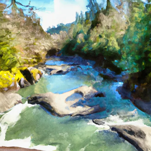
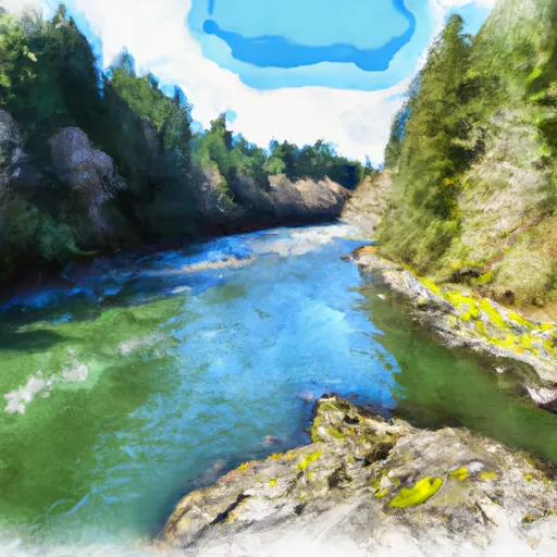
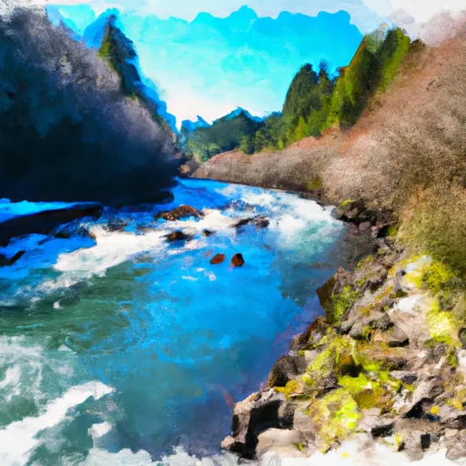
The ideal streamflow range for this river is between 500 and 1500 cubic feet per second (cfs), which provides Class III and IV rapids. This segment of the river covers a distance of 13.8 miles, starting at the Eastern Siuslaw NF Boundary and ending at the confluence with Sampson Creek.
The river rapids on this segment of the Whitewater River are exciting and challenging, with notable obstacles such as "Devil's Gorge," "S-Turn," and "Boulder Falls." It is important for kayakers and rafters to have experience with technical rapids and to use proper safety equipment, as the river can be unpredictable.
In terms of regulations, the Whitewater River is managed by the US Forest Service and requires a permit for overnight camping. The river is also subject to fishing regulations set by the Oregon Department of Fish and Wildlife. It is important to check for any current closures or restrictions before planning a trip to this area.
°F
°F
mph
Wind
%
Humidity
15-Day Weather Outlook
River Run Details
| Last Updated | 2026-02-07 |
| River Levels | 182 cfs (2.67 ft) |
| Percent of Normal | 33% |
| Status | |
| Class Level | iii |
| Elevation | ft |
| Streamflow Discharge | cfs |
| Gauge Height | ft |
| Reporting Streamgage | USGS 14305500 |
5-Day Hourly Forecast Detail
Nearby Streamflow Levels
 Siletz River At Siletz
|
1130cfs |
 Nestucca River Near Beaver
|
963cfs |
 Luckiamute River Near Suver
|
679cfs |
 Tucca Creek Near Blaine
|
15cfs |
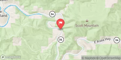 Alsea River Near Tidewater
|
864cfs |
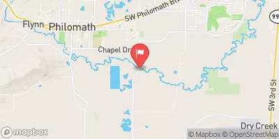 Marys River Near Philomath
|
295cfs |


 Ichwhit Park
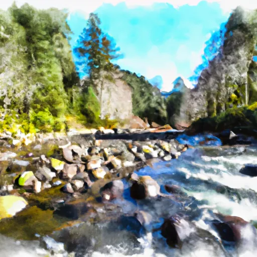 Upstream Crossing Of Eastern Siuslaw Nf Boundary To Confluence With Sampson Creek
 Confluence With Sampson Creek To Downstream Crossing Of Western Siuslaw Nf Boundary
 North Fork Siletz River
 Siletz River
 Little Luckiamute River
 Devil's Lake State Recreation Area
 Sand Point Park
 Regatta Grounds Park
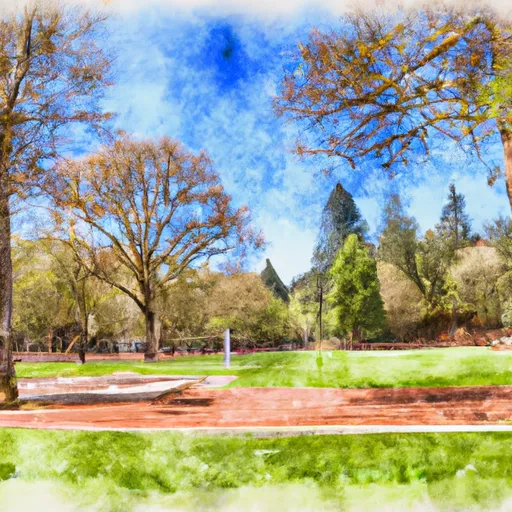 A W Jack Morgan Park
 Kirtsis Park