Summary
The ideal streamflow range for the Headwaters to Confluence with Van Patten Creek segment is between 800 and 4,000 cubic feet per second (cfs) depending on the skill level of the paddlers. The class rating for this segment is a Class III, which is considered intermediate difficulty.
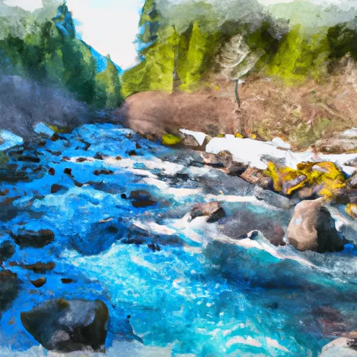
The segment is approximately 6.5 miles long and consists of several notable rapids and obstacles, including Carnage, The Chute, and Boulder Garden. Carnage is a Class III+ rapid that features a large boulder in the middle of the river, creating a challenging obstacle for paddlers. The Chute is a narrow, technical rapid that requires precise maneuvering. Boulder Garden is a Class III rapid that has several large boulders that must be navigated.
There are specific regulations that must be followed when rafting on the Whitewater River. All boaters must wear a personal flotation device (PFD) at all times, and it is recommended that they wear a helmet as well. Additionally, all boaters must carry a whistle, and it is recommended that they carry a throw bag and first aid kit.
In conclusion, the Headwaters to Confluence with Van Patten Creek segment of the Whitewater River in Oregon is a challenging and exciting destination for whitewater rafting. Paddlers should be aware of the ideal streamflow range, class rating, segment mileage, specific river rapids/obstacles, and specific regulations to the area to ensure a safe and enjoyable experience.
°F
°F
mph
Wind
%
Humidity
15-Day Weather Outlook
River Run Details
| Last Updated | 2026-02-07 |
| River Levels | 1590 cfs (3.61 ft) |
| Percent of Normal | 47% |
| Status | |
| Class Level | iii-iii+ |
| Elevation | ft |
| Streamflow Discharge | cfs |
| Gauge Height | ft |
| Reporting Streamgage | USGS 13331500 |
5-Day Hourly Forecast Detail
Nearby Streamflow Levels
 John Day R At Blue Mtn Hot Spgs Nr Prairie City
|
28cfs |
 M Fk John Day R At Ritter
|
111cfs |
 Minam River Near Minam
|
221cfs |
 Meacham Creek At Gibbon
|
31cfs |
 John Day River Near John Day
|
128cfs |
 Umatilla River Above Meacham Creek
|
201cfs |
Area Campgrounds
| Location | Reservations | Toilets |
|---|---|---|
 Anthony Lake
|
||
 Anthony Lake Campground
|
||
 Mud Lake
|
||
 Anthony Lake Tent Campground
|
||
 Anthony Lakes Guard Station
|
||
 Anthony Lakes Tent
|


 Anthony Lakes Boat Launch
 Headwaters To Confluence With Van Patten Creek