Summary
The ideal streamflow range for this run is between 700-3000 cfs, with the best time to run being in the late winter and early spring months. The class rating for this run is class III-IV, with numerous rapids and obstacles along the way.
The segment mileage for this run is approximately 12 miles, with the majority of the run being within a steep, narrow canyon. Some of the notable rapids on this stretch include Wildcat, Pinball, and Devil's Staircase. These rapids can be challenging for even experienced paddlers, and caution should be exercised.
There are specific regulations in place for this area, including a permit system for commercial outfitters and a ban on alcohol consumption. Additionally, boaters should be aware of the sensitive ecological environment in the area and practice Leave No Trace principles.
Overall, the Whitewater River Run from Siuslaw Falls to the Confluence of North and South Forks is a thrilling and challenging adventure for experienced paddlers. Safety should always be a top priority, and boaters should be aware of the specific regulations and conditions of the area before embarking on this journey.
Regional Streamflow Levels
15-Day Long Term Forecast
River Run Details
| Last Updated | 2026-05-09 |
| River Levels | 56 cfs (3.0 ft) |
| Percent of Normal | 46% |
| Status | |
| Class Level | iii-iv |
| Elevation | ft |
| Streamflow Discharge | cfs |
| Gauge Height | ft |
| Reporting Streamgage | USGS 14153500 |
5-Day Hourly Forecast Detail
Area Campgrounds
| Location | Reservations | Toilets |
|---|---|---|
 Pass Creek County Park
|
||
 Primitive - Cottage Grove Lake
|
||
 Pine Meadows- Cottage Grove Lake
|
||
 Schwarz
|
||
 Clay Creek
|
||
 Clay Creek Recreation Site
|

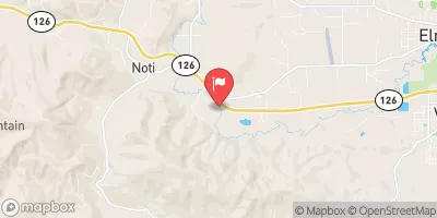
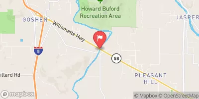
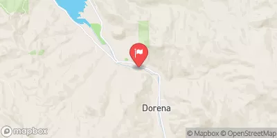
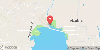

 Lynx Hollow State Park
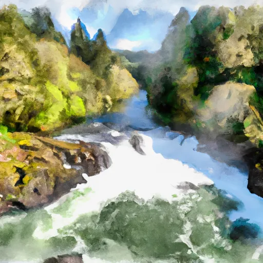 Siuslaw Falls To Confluence Of North And South Forks
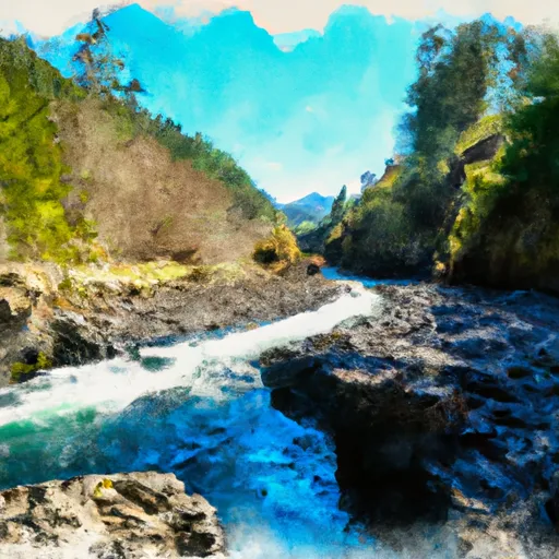 Confluence Of North And South Forks To Headwaters Of North Fork
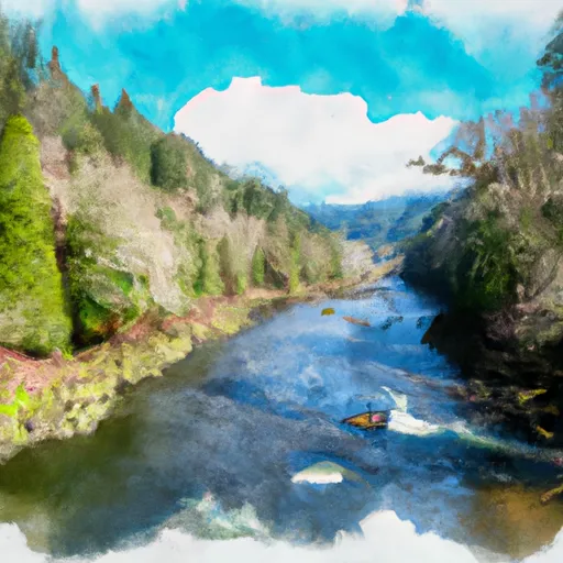 Siuslaw River Seg B
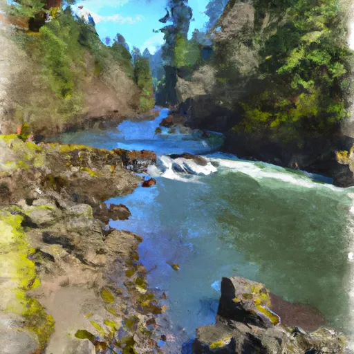 Clay Creek Campground To Siuslaw Falls
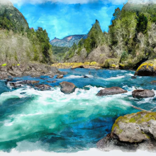 Confluence Of North And South Forks To Headwaters Of South Fork
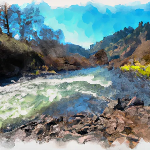 Wildcat Creek Launch Site To Clay Creek Campground
 Silver Creek Park
 Harrison Park
 Lions Ballfield
 Coiner Park, Cottage Grove, Or
 North Regional Park
 Continue with Snoflo Premium