Summary
The ideal streamflow range for this river run is between 400 and 1200 cubic feet per second (cfs). This range provides for a challenging, yet manageable experience for experienced kayakers and whitewater rafters. The segment mileage for this river run is approximately 3 miles, with a vertical drop of 300 feet.
Some of the specific river rapids and obstacles to expect on this run include "The Slot," a narrow chute with a steep drop, and "The Ledge," a large waterfall drop. There are also several technical sections with tight turns and boulder gardens.
Due to the challenging nature of this river run, there are specific regulations in place to ensure the safety of participants. Kayakers and rafters must possess advanced skills and experience to navigate the Class IV-V rapids. In addition, participants must wear appropriate safety gear, including helmets and personal flotation devices.
Overall, Big Alvord Creek provides a thrilling whitewater experience for experienced kayakers and rafters, with its challenging rapids and technical sections. However, it is important to adhere to safety regulations and possess the necessary skills and experience to ensure a safe and enjoyable trip.
°F
°F
mph
Wind
%
Humidity
15-Day Weather Outlook
River Run Details
| Last Updated | 2025-06-28 |
| River Levels | 416 cfs (3.27 ft) |
| Percent of Normal | 87% |
| Status | |
| Class Level | iv-v |
| Elevation | ft |
| Streamflow Discharge | cfs |
| Gauge Height | ft |
| Reporting Streamgage | USGS 10396000 |
5-Day Hourly Forecast Detail
Nearby Streamflow Levels
Area Campgrounds
| Location | Reservations | Toilets |
|---|---|---|
 WH2-User Created
|
||
 WH1-User Created
|
||
 PC1-User Created
|
||
 WH3-User Created
|
||
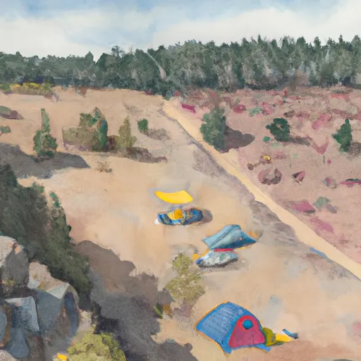 WH4-User Created
|
||
 BI12-User Created
|


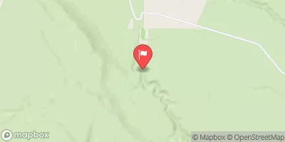
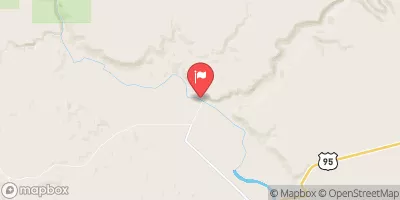
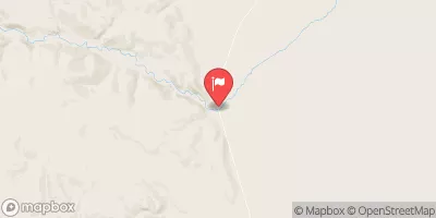
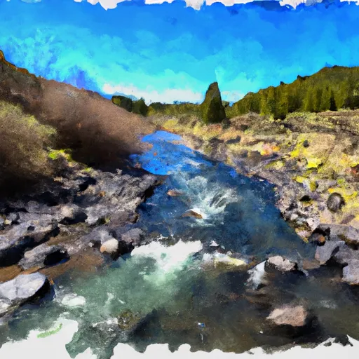 Big Alvord Creek
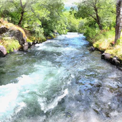 Willow Creek