Summary
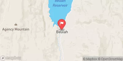
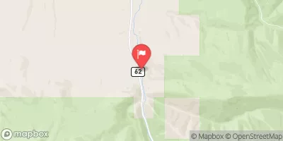
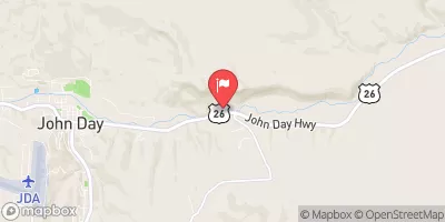
The ideal streamflow range for this river run is between 700 and 2,500 cubic feet per second (CFS). The river is rated as Class III, with some Class IV rapids during high water. The segment mileage for this river run is approximately 47 miles, starting from the put-in at the Forest Service boundary and ending at the take-out at the Oxbow Dam.
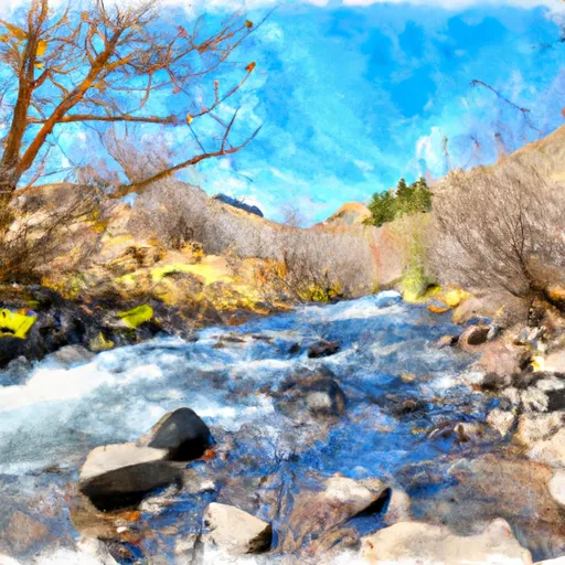
Some of the specific river rapids and obstacles on this river run include Grassy Flat Falls, a Class IV rapid, Devil's Washbowl, a Class III rapid, and Hurricane Creek Falls, a Class IV rapid. Other notable rapids include Lower Lesley, Upper Lesley, and Bluebucket Falls.
There are specific regulations to be aware of when planning a trip to the Middle Fork Malheur river run. Permits are required for all overnight trips, and a maximum group size of 12 people is enforced. Additionally, campsites must be located at least 100 feet away from the river and no fires are allowed above 5,000 feet elevation. It is important to follow all regulations and practice Leave No Trace principles when enjoying this beautiful river run.
°F
°F
mph
Wind
%
Humidity
15-Day Weather Outlook
River Run Details
| Last Updated | 2025-06-28 |
| River Levels | 73 cfs (1.44 ft) |
| Percent of Normal | 81% |
| Status | |
| Class Level | iii-iv |
| Elevation | ft |
| Streamflow Discharge | cfs |
| Gauge Height | ft |
| Reporting Streamgage | USGS 14036860 |


 Middle Fork Malheur (Including Bluebucket Creek)