2026-02-18T10:00:00-08:00
* WHAT...Wet snow expected. Total snow accumulations up to 3 inches. Best chance of accumulation is above 500 feet, but brief accumulation is possible even down to sea level. * WHERE...Curry County Coast and South Central Oregon Coast. Including the locations of...Coos Bay, Coquille, North Bend, Reedsport, Bandon, Myrtle Point, Port Orford, Powers, Gold Beach, Harbor, Nesika Beach, Ophir, Pistol River. * WHEN...From 10 PM this evening to 10 AM PST Wednesday. * IMPACTS...Plan on slippery road conditions and delays in your commute. The hazardous conditions could impact the morning commute. * ADDITIONAL DETAILS... Visit weather.gov/mfr/winter for additional snow probabilities.
Summary
The ideal streamflow range for this river is between 700 and 1500 cubic feet per second (cfs). The river is rated as a class III-IV run, with a segment mileage of 8 miles. The river is known for its challenging rapids and obstacles, including "Boulder Creek Falls," "Logjam," and "S-Turn." It is important for paddlers to have previous whitewater experience before attempting this run.
Specific regulations for the South Fork Coquille River include a permit requirement for commercial outfitters and a limit on the number of commercial trips per season. Additionally, there are restrictions on camping and campfires along the river. Paddlers are encouraged to practice Leave No Trace principles and to respect the natural environment.
In summary, the South Fork Coquille River is a challenging and exciting whitewater run in Oregon, with an ideal streamflow range of 700-1500 cfs, a class III-IV rating, 8 miles of segment mileage, and specific rapids and obstacles. It is important to be aware of specific regulations for the area, including permit requirements for commercial outfitters and restrictions on camping and campfires.
°F
°F
mph
Wind
%
Humidity
15-Day Weather Outlook
River Run Details
| Last Updated | 2025-06-28 |
| River Levels | 76 cfs (0.72 ft) |
| Percent of Normal | 70% |
| Status | |
| Class Level | iii-iv |
| Elevation | ft |
| Streamflow Discharge | cfs |
| Gauge Height | ft |
| Reporting Streamgage | USGS 14325000 |
5-Day Hourly Forecast Detail
Nearby Streamflow Levels
 South Fork Coquille River At Powers
|
366cfs |
 Rogue River Near Agness
|
3310cfs |
 West Fork Cow Creek Near Glendale
|
101cfs |
 Cow Creek Near Riddle
|
314cfs |
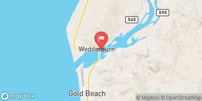 Rogue River At Hwy 101 Bridge
|
3580cfs |
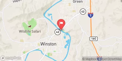 South Umpqua River Near Brockway
|
1180cfs |
Area Campgrounds
| Location | Reservations | Toilets |
|---|---|---|
 Orchard Park
|
||
 Myrtle Grove
|
||
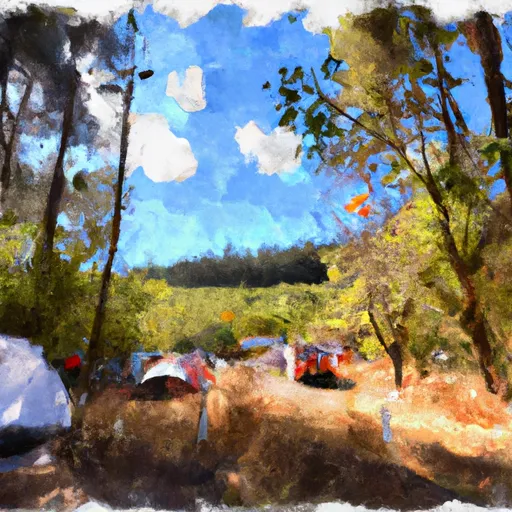 Myrtle Grove Campground
|
||
 Powers County Park
|
||
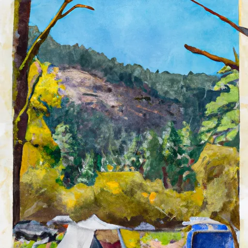 Buck Creek Campground
|
||
 Daphne Grove
|
Boat Launches
River Runs
-
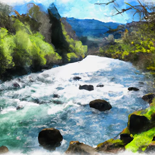 South Fork Coquille River
-
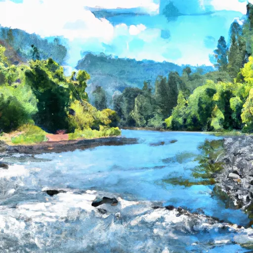 Coquille River Rna Boundary (Western) To Siskiyou Nf Boundary (North Section Line Sec 6, T32S, R11W
-
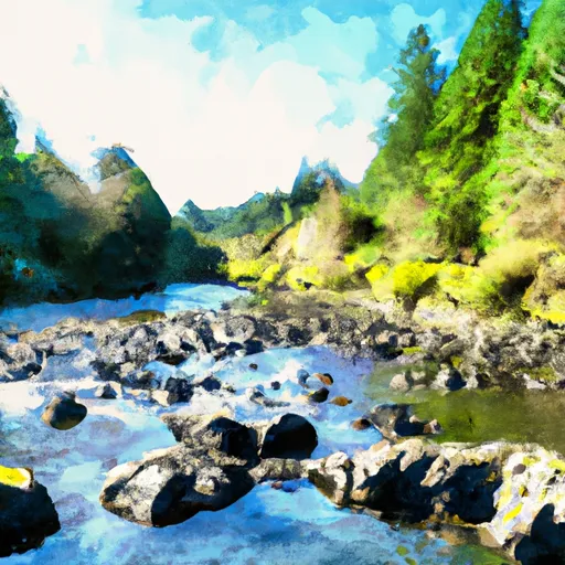 Confluence With Sucker Creek To Confluence With South Fork Coquille River
-
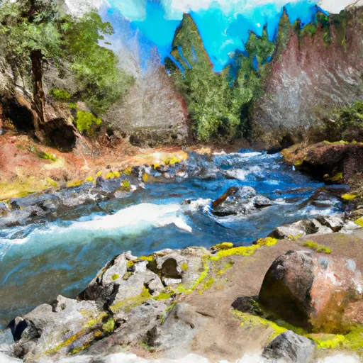 Headwaters To Confluence With Johnson Creek
-
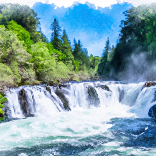 Coquille River Falls (Eastern Boundary) To Coquille River Falls (Western Boundary)
-
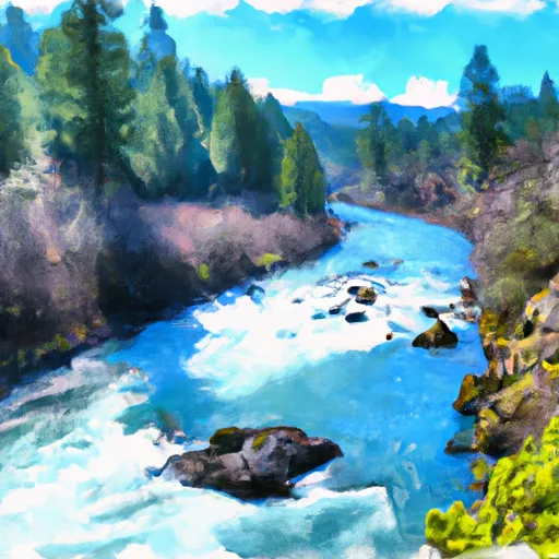 Sixes River


 Orchard Park