Summary
The ideal streamflow range for this river run is between 700-3000 cfs. The river is rated as a Class II-III, making it suitable for intermediate paddlers. The run covers a distance of approximately 10 miles, starting at the Upper Siletz Falls and ending at the Siletz Bay.
Several rapids and obstacles can be found throughout the river run, including the Upper Siletz Falls, the Canyon, and Devil's Punchbowl. The Upper Siletz Falls is a Class III rapid and requires some technical maneuvering. The Canyon is a Class II rapid and is a popular spot for swimming and cliff jumping. Devil's Punchbowl is a Class III rapid with a large boulder in the middle of the river that requires careful navigation.
Specific regulations apply to the Siletz River run. The river is open to non-motorized boats only, and all paddlers are required to wear a personal flotation device (PFD) at all times. Additionally, the use of alcohol and drugs is strictly prohibited on the river.
In conclusion, the Siletz River run in Oregon is a popular destination for whitewater enthusiasts. With an ideal streamflow range between 700-3000 cfs and a Class II-III rating, the run covers a distance of approximately 10 miles and includes various rapids and obstacles. Specific regulations apply to the area, including non-motorized boats only and the use of PFDs at all times.
°F
°F
mph
Wind
%
Humidity
15-Day Weather Outlook
River Run Details
| Last Updated | 2025-06-28 |
| River Levels | 182 cfs (2.67 ft) |
| Percent of Normal | 35% |
| Status | |
| Class Level | ii-iii |
| Elevation | ft |
| Streamflow Discharge | cfs |
| Gauge Height | ft |
| Reporting Streamgage | USGS 14305500 |
5-Day Hourly Forecast Detail
Nearby Streamflow Levels
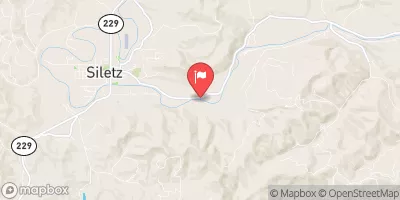 Siletz River At Siletz
|
2150cfs |
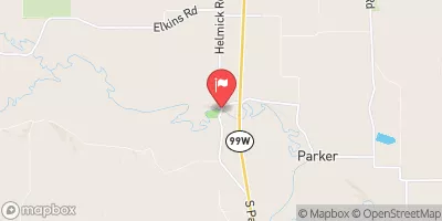 Luckiamute River Near Suver
|
1190cfs |
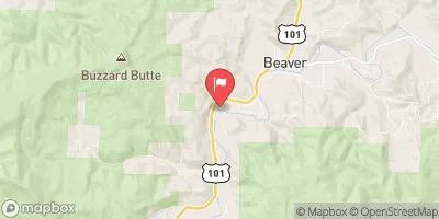 Nestucca River Near Beaver
|
1220cfs |
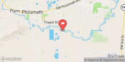 Marys River Near Philomath
|
296cfs |
 Willamette River At Corvallis
|
10300cfs |
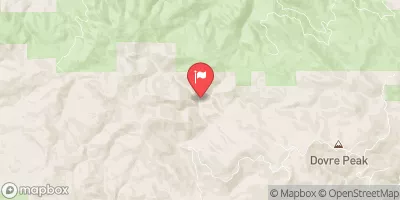 Tucca Creek Near Blaine
|
23cfs |


 Moonshine Park
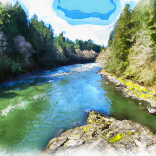 Siletz River
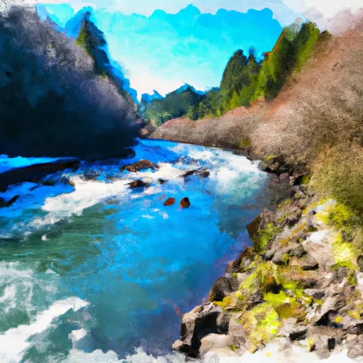 Little Luckiamute River
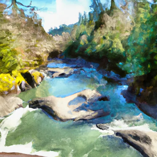 North Fork Siletz River
 Upstream Crossing Of Eastern Siuslaw Nf Boundary To Confluence With Sampson Creek
 Luckiamute River
 Yaquina River
 A W Jack Morgan Park
 Twin Bridges Memorial Park
 H B Van Duzer State Park
 HB Van Duzer Forest State Scenic Corridor