Summary
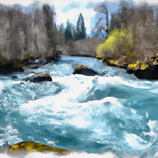
The ideal streamflow range for this segment is between 1,000 and 2,000 cubic feet per second (cfs), with higher levels offering more challenging rapids. Segment A spans about 28 miles and is rated as a class III-IV run, with several notable obstacles such as Marten Rapids, Needle Rock, and Koosah Falls.
Marten Rapids, located about 3 miles into the run, is a class IV rapid with large waves and a steep drop. Needle Rock, located about 10 miles in, is a class III rapid with a sharp turn and a narrow channel. Koosah Falls, located near the end of the run, is a class IV rapid with a 64-foot waterfall drop.
In terms of regulations, the McKenzie River is managed by the Willamette National Forest and requires a permit for overnight camping. Motorized boats are not allowed on the river, and all watercraft must have a valid Oregon State Marine Board permit. Additionally, there are restrictions on the use of alcohol and drugs while on the river.
Overall, the McKenzie River Segment A offers a thrilling whitewater experience for experienced kayakers and rafters, with its challenging rapids and stunning natural scenery. It is important to follow all regulations and guidelines to ensure the safety and preservation of the area.
°F
°F
mph
Wind
%
Humidity
15-Day Weather Outlook
River Run Details
| Last Updated | 2025-06-28 |
| River Levels | 2990 cfs (1.67 ft) |
| Percent of Normal | 65% |
| Status | |
| Class Level | iii-iv |
| Elevation | ft |
| Streamflow Discharge | cfs |
| Gauge Height | ft |
| Reporting Streamgage | USGS 14162500 |
5-Day Hourly Forecast Detail
Nearby Streamflow Levels
Area Campgrounds
| Location | Reservations | Toilets |
|---|---|---|
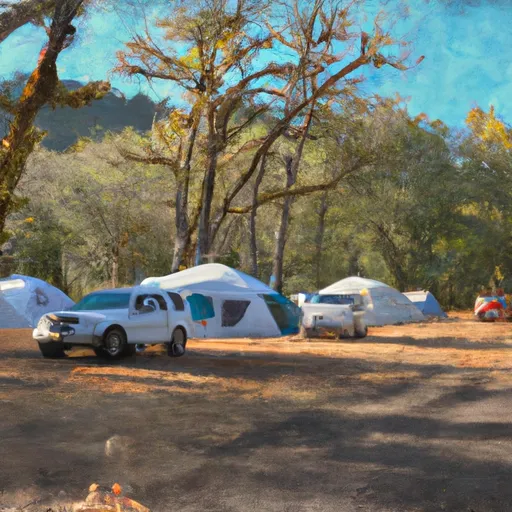 Delta Campground
|
||
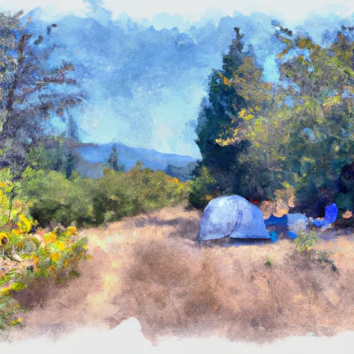 Cougar dispersed camping
|
||
 Mona Campground
|
||
 Sunnyside Campground
|
||
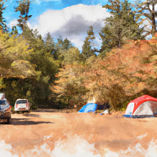 Cougar Crossing Campground
|
||
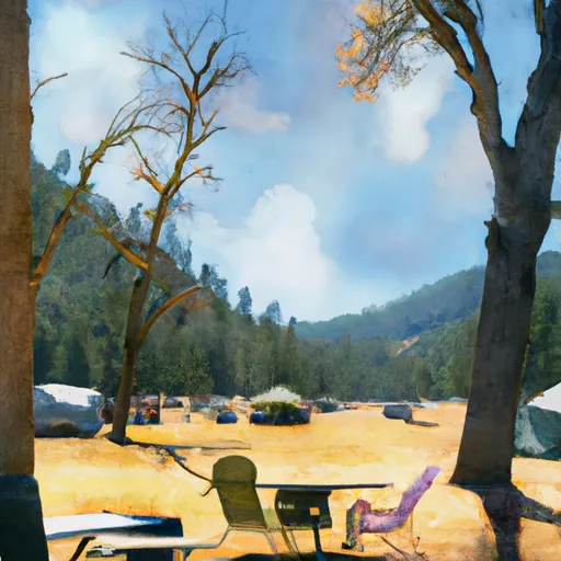 French Pete Campground
|


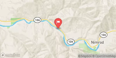
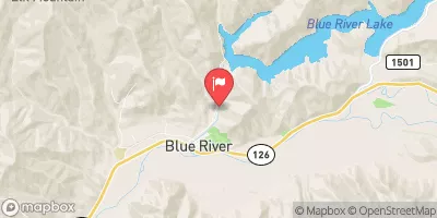
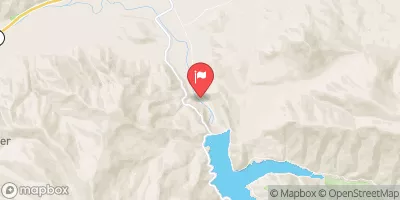
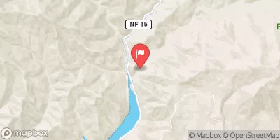
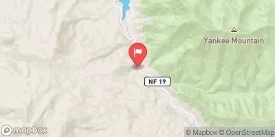
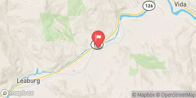
 McMullen's Landing
 Silver Creek Boat Landing
 Mckenzie River Seg A
 South Fork Gate Creek
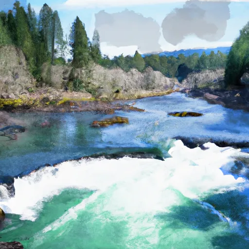 Below Cougar Dam To Confluence With Mckenzie River
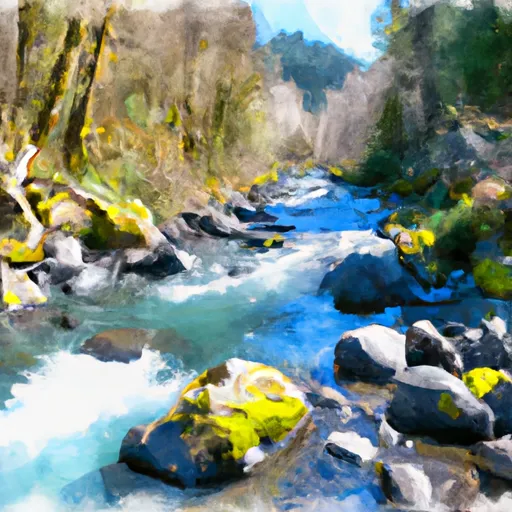 North Fork Gate Creek
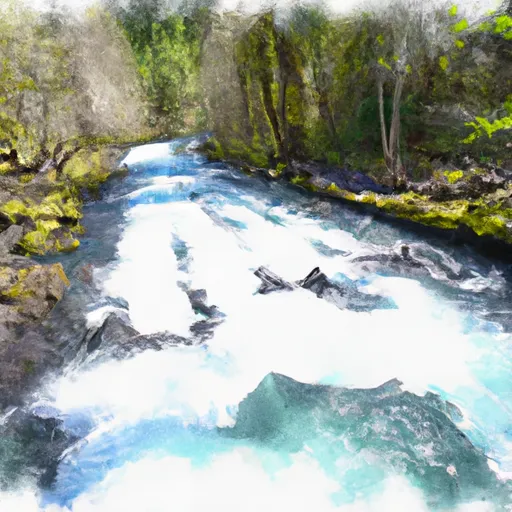 Mckenzie River Seg B
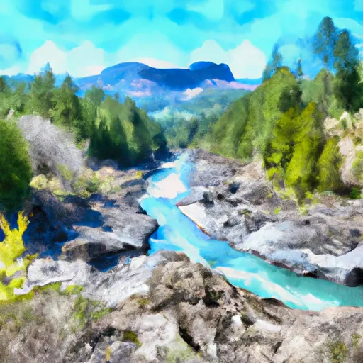 Three Sisters Wilderness Boundary To Cougar Reservoir