Summary
The ideal streamflow range for this segment is between 800-2,500 cfs. The segment is rated Class III-IV, with several rapids and obstacles that require technical skills to navigate safely.
The segment is approximately 11.5 miles long and can take up to 5 hours to complete. Paddlers can expect to encounter rapids such as "Holy Water," "Pinball," and "Can Opener," which offer challenging drops and strong currents.
It is important to note that the Nestucca River Seg B has specific regulations in place to protect the area's natural resources. Paddlers are required to obtain a permit from the Oregon Department of Fish and Wildlife before entering the river. Additionally, the segment is closed to all boating activities from October 1st to December 31st to protect spawning salmon populations.
In conclusion, the Nestucca River Seg B offers a thrilling whitewater river run for experienced paddlers. Paddlers must be aware of the ideal streamflow range, class rating, segment mileage, specific rapids/obstacles, and regulations in place to protect the area's natural resources.
°F
°F
mph
Wind
%
Humidity
15-Day Weather Outlook
River Run Details
| Last Updated | 2025-06-28 |
| River Levels | 149 cfs (4.7 ft) |
| Percent of Normal | 40% |
| Status | |
| Class Level | iii-iv |
| Elevation | ft |
| Streamflow Discharge | cfs |
| Gauge Height | ft |
| Reporting Streamgage | USGS 14303600 |
5-Day Hourly Forecast Detail
Nearby Streamflow Levels
 Tucca Creek Near Blaine
|
68cfs |
 Nestucca River Near Beaver
|
2750cfs |
 Trask River Above Cedar Creek
|
2640cfs |
 Wilson River Near Tillamook
|
2660cfs |
 South Yamhill River At Mcminnville
|
8350cfs |
 Tualatin River Near Dilley
|
1050cfs |
Area Campgrounds
| Location | Reservations | Toilets |
|---|---|---|
 Rocky Bend Group Campground
|
||
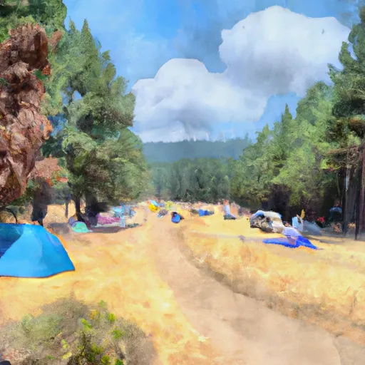 Rocky Bend Campground
|
||
 Rocky Bend
|
||
 Alder Glen Campground
|
||
 Elk Bend Campground
|
||
 South Lake
|


 Fourth Bridge
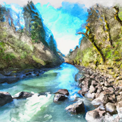 Nestucca River Seg B
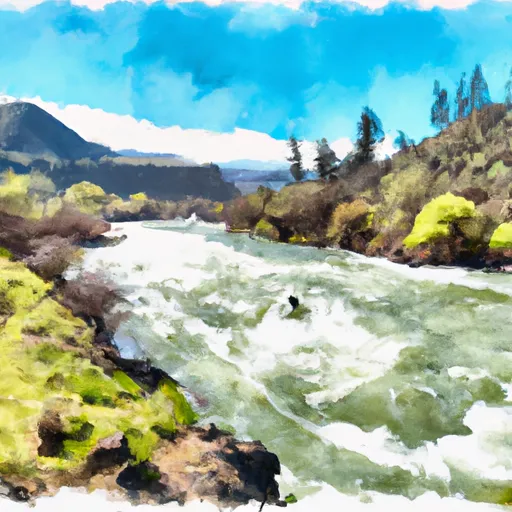 Rm 26 To Rm 32 Confluence With Wsr
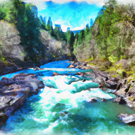 South Fork Trask River
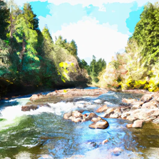 South Yamhill River
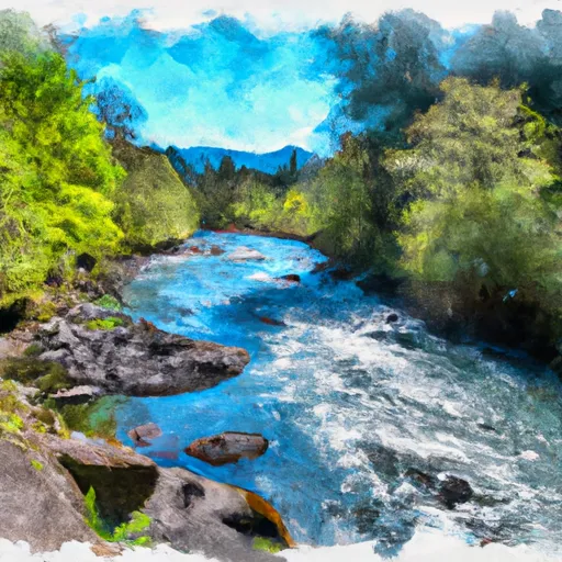 Rm 47 To Rm 52 (Upper End Of Nestucca River)
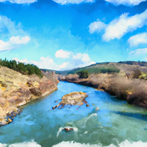 County Boudary (Confluence With Wsr) To Rm 47 (Lower End Mcguire Reservoir)
 Blackwell Park
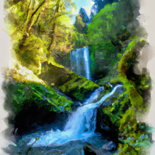 Munson Creek Falls State Natural Site
 Deer Creek Park