2026-02-18T15:00:00-08:00
* WHAT...Snow showers. Additional snow accumulations of 1 to 3 inches. * WHERE...Grande Ronde Valley, Southern Blue Mountains of Oregon, and Wallowa County. * WHEN...Until 3 PM PST this afternoon. * IMPACTS...Plan on slippery road conditions.
Summary
The ideal streamflow range for this river run is between 500 and 1,200 cubic feet per second (cfs). The river is rated as a Class III-IV, making it a challenging adventure for experienced rafters. The river segment is approximately 14 miles long, starting from the upper section near Wallowa-Whitman National Forest and ending at the Grande Ronde River.
The river features several exciting rapids and obstacles, including "Staircase" and "Box Canyon," which are both Class IV rapids and require technical maneuvering. The river also features scenic cliffs and refreshing swimming holes.
While rafters can enjoy the natural beauty of the area, it is important to note that there are specific regulations to follow. The river is managed by the Bureau of Land Management, and a permit is required to access the river. Visitors must also comply with regulations related to camping, littering, and fire safety.
Overall, Joseph Creek is an exciting whitewater rafting destination in Oregon that offers a challenging adventure for experienced rafters. It is important for visitors to follow regulations and to be prepared for the Class III-IV rapids and other obstacles.
°F
°F
mph
Wind
%
Humidity
15-Day Weather Outlook
River Run Details
| Last Updated | 2025-06-28 |
| River Levels | 4690 cfs (5.85 ft) |
| Percent of Normal | 49% |
| Status | |
| Class Level | iii-iv |
| Elevation | ft |
| Streamflow Discharge | cfs |
| Gauge Height | ft |
| Reporting Streamgage | USGS 13333000 |
5-Day Hourly Forecast Detail
Nearby Streamflow Levels
 Grande Ronde River At Troy
|
1890cfs |
 Snake River Bl Mcduff Rapids At China Gardens
|
16400cfs |
 Snake River Near Anatone
|
18700cfs |
 Asotin Creek Below Confluence Near Asotin
|
54cfs |
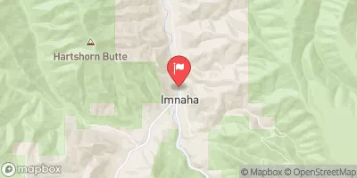 Imnaha River At Imnaha
|
150cfs |
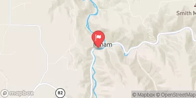 Minam River Near Minam
|
221cfs |
Area Campgrounds
| Location | Reservations | Toilets |
|---|---|---|
 Coyote
|
||
 Coyote Campground
|
||
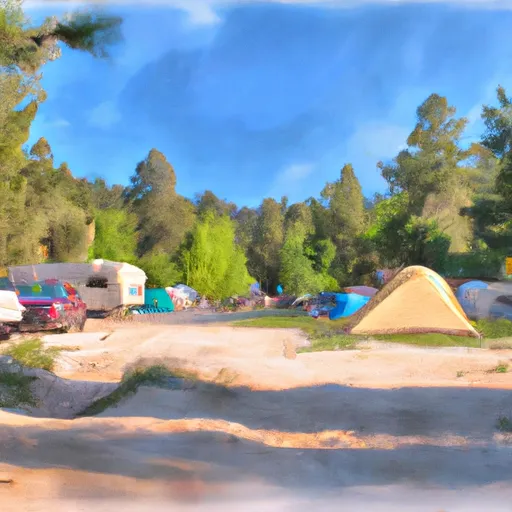 Dougherty Campground
|
||
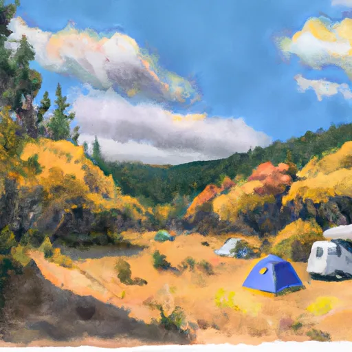 Dougherty
|


 Troy Access #2
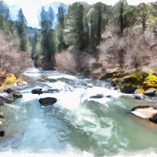 Joseph Creek
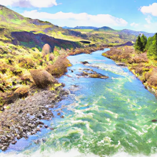 Grande Ronde River (Lower)