2026-02-18T15:00:00-08:00
* WHAT...Snow showers. Additional snow accumulations up to 2 inches. * WHERE...In Oregon, John Day Basin and Foothills of the Northern Blue Mountains of Oregon. In Washington, Foothills of the Blue Mountains of Washington. * WHEN...Until 3 PM PST this afternoon. * IMPACTS...Travel could be difficult due to periods of moderate to heavy snow. The hazardous conditions could impact the Wednesday morning commute.
Summary
The ideal streamflow range for this river is between 800 and 3000 cfs, with higher flows in the spring and early summer months. The class rating for this river ranges from II to IV, with some challenging rapids such as Hell's Half Mile and Pinball.
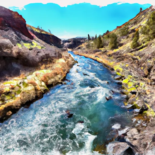
The segment mileage for this river run is approximately 30 miles, and it typically takes multiple days to complete. The river offers breathtaking scenery, with steep canyons and lush forests lining the banks. Paddlers will also encounter various wildlife species such as elk, deer, and eagles.
In addition to the rapids, paddlers must navigate several obstacles on the river, such as fallen trees and logjams. It is important to be aware of the hazards and always paddle with a partner.
Specific regulations to the area include a permit requirement for overnight camping, which can be obtained through the U.S. Forest Service. The use of fire is also restricted in some areas, and all waste must be packed out.
Overall, the North Fork John Day River is a challenging and rewarding river run for experienced paddlers. It is important to follow all regulations and safety precautions to ensure a safe and enjoyable trip.
°F
°F
mph
Wind
%
Humidity
15-Day Weather Outlook
River Run Details
| Last Updated | 2025-06-28 |
| River Levels | 1110 cfs (4.57 ft) |
| Percent of Normal | 43% |
| Status | |
| Class Level | None |
| Elevation | ft |
| Streamflow Discharge | cfs |
| Gauge Height | ft |
| Reporting Streamgage | USGS 14046000 |


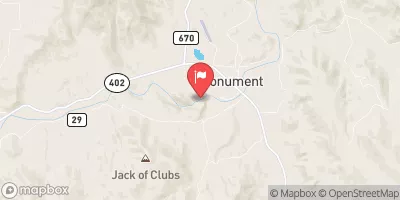
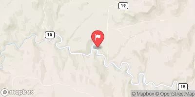
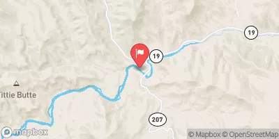
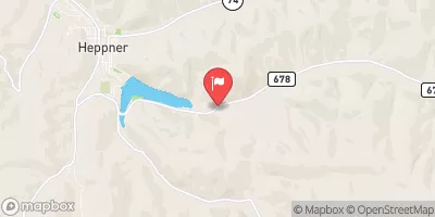
 North Fork John Day River