Summary
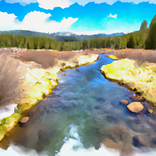
It is a tributary of the North Fork John Day River and is considered a class III to IV+ river. The ideal streamflow range for this river is between 300 and 800 cfs, although it can be run at higher flows with caution.
The segment mileage of Hazard Creek is approximately 6 miles, and it features several challenging rapids and obstacles, including Class IV rapids such as The Slot and S-Turn. It is recommended that only experienced paddlers attempt this river, as it can be dangerous for those who are not familiar with the area.
There are specific regulations to the area, including a permit requirement for commercial outfitters, as well as a requirement for all paddlers to wear a personal flotation device (PFD) at all times. It is also recommended that paddlers have proper safety equipment, such as a helmet, throw bag, and first aid kit.
Overall, Hazard Creek is a challenging and exciting river run for experienced paddlers. It is important to follow all regulations and safety guidelines when attempting this river to ensure a safe and enjoyable experience.
°F
°F
mph
Wind
%
Humidity
15-Day Weather Outlook
River Run Details
| Last Updated | 2025-02-06 |
| River Levels | 23000 cfs (67.93 ft) |
| Percent of Normal | 136% |
| Status | |
| Class Level | iii-iv |
| Elevation | ft |
| Streamflow Discharge | cfs |
| Gauge Height | ft |
| Reporting Streamgage | USGS 13290450 |
5-Day Hourly Forecast Detail
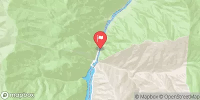
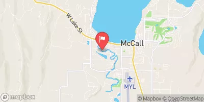
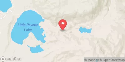
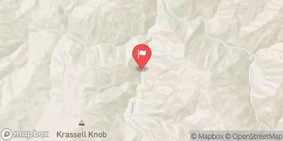
Nearby Streamflow Levels
Area Campgrounds
| Location | Reservations | Toilets |
|---|---|---|
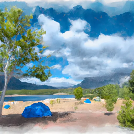 Hazard Lake
|
||
 Hazard Lake Campground
|
||
 Smokey Boulder Camping Area
|
||
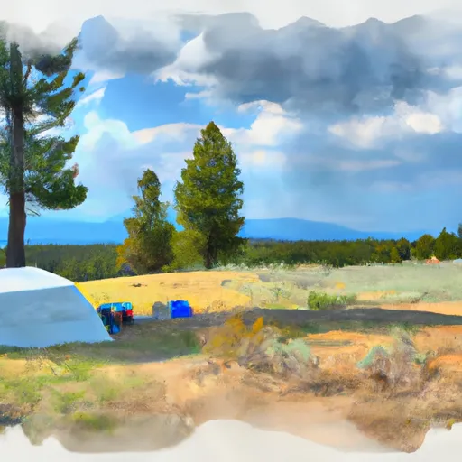 Goose Lake Camping Area
|
||
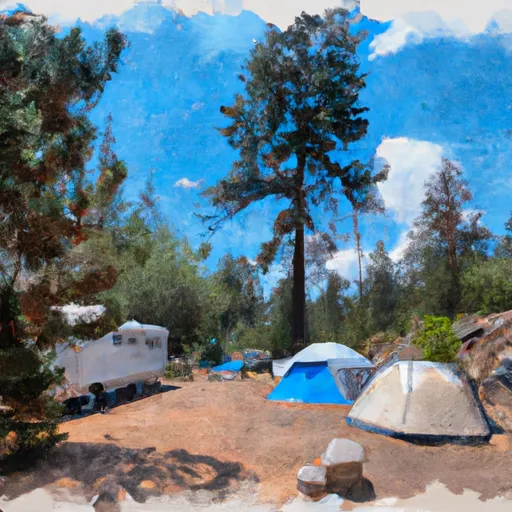 Grouse Campground
|
||
 Grouse
|


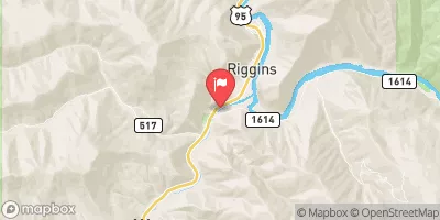
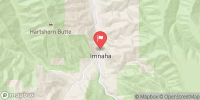
 Hazard Creek
 Hard Creek
 Headwaters To Confluence With Vance Creek At Payette Nf Boundary
 Headwaters At Hard Creek Lake To Payette Nf Boundary