2026-02-19T10:00:00-08:00
* WHAT...For the Winter Weather Advisory below 1500 ft, wet snow expected. Additional snow accumulations of 1 to 3 inches. For the Winter Storm Warning above 1500 ft, heavy snow expected. Additional snow accumulations 3 to 6 inches for the passes north of I-5, and the Illinois Valley except up to 10 inches for the southern portions of the Illinois Valley. 1 to 2 ft in the Kalmiopsis Wilderness region. * WHERE...For the Winter Weather Advisory below 1500 ft, this includes Grants Pass, Wilderville, Merlin, Galice and Agness as well as portions of I-5 and Highway 199. For the Winter Storm Warning above 1500 ft, this includes Cave Junction, Obrien, Selma and Wolf Creek. This also includes portions of I-5 and Highway 199 and the Sexton Pass, Smith Hill and Stage Pass on I-5, Hayes Hill on Highway 199 and Bear Camp road in the Kalmiopsis Wilderness. * WHEN...Until 10 AM PST Thursday. * IMPACTS...Travel may be very difficult to impossible. The hazardous conditions could impact morning and evening commutes. * ADDITIONAL DETAILS...Another round of snowfall is expected tonight into Thursday. Visit weather.gov/mfr/winter for additional snow probabilities
Summary
The best time to float this section is from late May to early September with a recommended flow of 1,500 to 2,500 cfs. This run is considered intermediate to advanced, and it is recommended that only experienced paddlers attempt it.
°F
°F
mph
Wind
%
Humidity
15-Day Weather Outlook
River Run Details
| Last Updated | 2023-06-13 |
| River Levels | 3120 cfs (2.68 ft) |
| Percent of Normal | 90% |
| Optimal Range | 700-35000 cfs |
| Status | Runnable |
| Class Level | III to IV |
| Elevation | 891 ft |
| Run Length | 36.0 Mi |
| Gradient | 33 FPM |
| Streamflow Discharge | 2000 cfs |
| Gauge Height | 1.9 ft |
| Reporting Streamgage | USGS 14361500 |
5-Day Hourly Forecast Detail
Nearby Streamflow Levels
 West Fork Cow Creek Near Glendale
|
111cfs |
 Rogue River At Grants Pass
|
2000cfs |
 Cow Creek Near Riddle
|
356cfs |
 Applegate River Near Wilderville
|
373cfs |
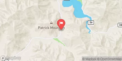 Cow Creek Near Azalea
|
50cfs |
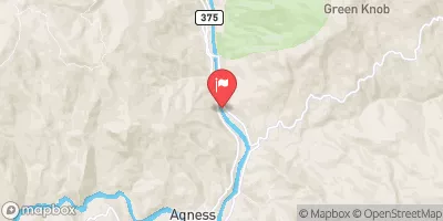 Rogue River Near Agness
|
3630cfs |


 Sandersons Home site (R0.70R)
 Fist Stop Beach (R0.65L)
 Sanderson Left (R0.72L)
 Lower Sandersons (R0.71R)
 Rainie Falls Right (R1.70R)
 Rainie Falls Left (R1.72L)
 Grave Creek Boat Ramp
 Grave Creek
 Argo Recreation Site and Boat Ramp
 Grave Creek to Foster Bar
 Riffle Creek
 Howard Creek Seg B
 Howard Creek Seg A