Make an Announcement

Communicate warnings, disperse advice, and share.


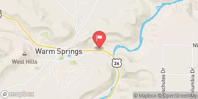
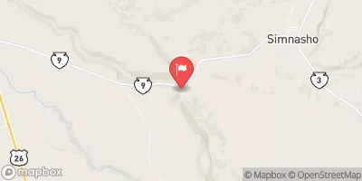
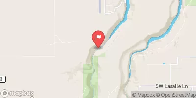
WARM SPRINGS TO SHERARS FALLS

Whitewater River Run


Oregon Deschutes River

Warm Springs To Sherars Falls

Class III TO III+

STREAMFLOW: 4,030 CFS

Runnable
93°, Sunny

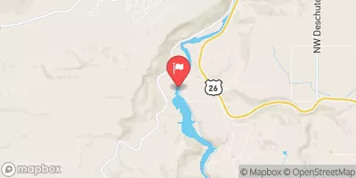
The Warm Springs to Sherars Falls section of the Deschutes River in Oregon offers breathtaking scenery and exciting rapids for intermediate and advanced paddlers. This 23-mile stretch of water includes several Class III to IV rapids, including the infamous Boxcar and Oak Springs rapids. The best time to float this section is from late May to early July, with a recommended flow of 3,000 to 5,000 cfs. Paddlers should be aware of the many obstacles in the river, including boulders and sweepers, and be prepared for long portages if necessary. Overall, this is a challenging and rewarding river run for experienced paddlers.

Weather today, Sunny, with a high near 93. Light and variable wind becoming north 9 to 14 mph in the morning. Winds could gust as high as 20 mph.

Status Runnable
Class Level III to III+
Elevation 1,396 ft
Run Length 63.0 Mi
Gradient 13 FPM
Streamflow Discharge 4030 cfs
Gauge Height 2.9 ft
Reporting Streamgage Deschutes River Near Madras
USGS 14092500

Nearby Snowpack and Streamflow Levels

Gauge Streamflow Stage
Columbia River At The Dalles
USGS 14105700
165,000 cfs 77.8 ft
Deschutes River At Moody
USGS 14103000
4,960 cfs 3.0 ft
Oak Grove Fork Above Powerplant Intake
USGS 14209000
445 cfs 5.3 ft
Crooked River Below Opal Springs
USGS 14087400
1,220 cfs 1.8 ft
Mosier Creek Near Mosier
USGS 14113200
3 cfs 2.4 ft
Oak Grove Fork Near Government Camp
USGS 14208700
102 cfs 1.8 ft
Blazed Alder Creek Near Rhododendron
USGS 14138800
13 cfs 1.4 ft
Beaver Creek
USGS 14096850
56 cfs 2.3 ft
Hood River At Tucker Bridge
USGS 14120000
871 cfs 4.2 ft
Bull Run River At Lower Flume Nr Brightwood
USGS 14138720
27 cfs 1.4 ft
Snotel Site Snowpack 24hr Change
Red Hill
SNOTEL 712
19" -3"
Mt Hood Test Site
SNOTEL 651
25" -1"

Popular Destinations

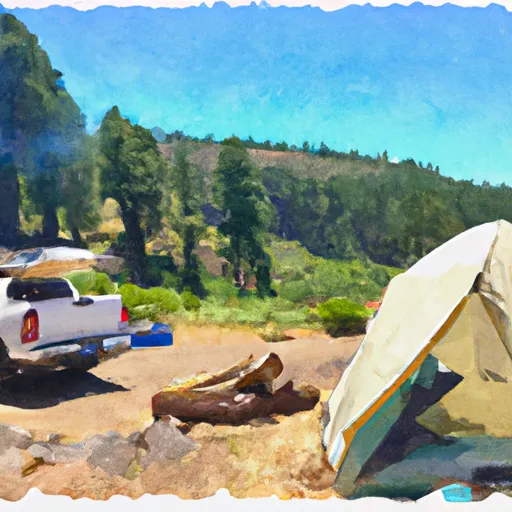
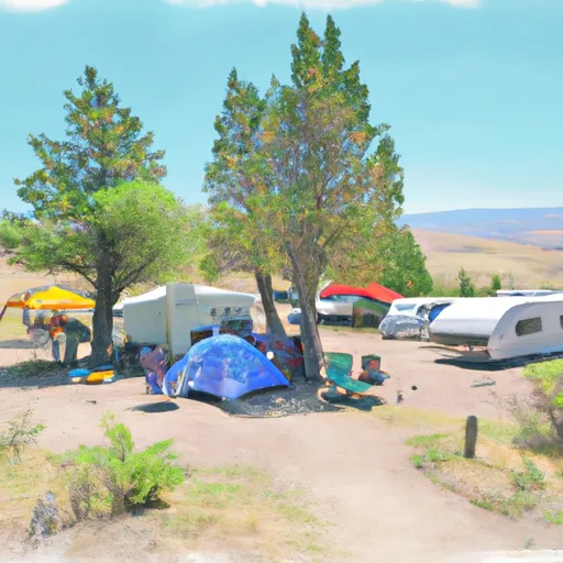
Campground Campsites Reservations Toilets Showers Elevation
Haystack Lake 54 2,906 ft
Cove Palisades State Park None 2,604 ft
Madras City Park None 2,243 ft
Maupin City Park None 851 ft
Jefferson County Fairgrounds RV None 2,322 ft
Skull Hollow 29 3,004 ft
Pelton Park None 1,627 ft
Ski Area Snowpack Air Temperature 5 Day Forecast
Mt. Hood Meadows Ski Resort 25" 73° 0"
Timberline Ski Area 25" 73° 0"
Mt. Bachelor 0" 70° 0"
River Run Streamflow Length Class
Cline Falls State Park to Lower Bridge 669.0cfs 12.0 Mi III
Lower Deschutes (Sherars Falls to Columbia River) 4030.0cfs 44.0 Mi III to III+
Canyon Run (Lower Bridge to Billy Chinook Res.) 669.0cfs 15.5 Mi IV- to IV+
Dillon Falls to Mount Bachelor Village (Big Eddy) 669.0cfs 12.0 Mi III to V
Warm Springs to Sherars Falls 4030.0cfs 63.0 Mi III to III+
Tumalo State Park to Cline Falls State Park 669.0cfs 15.0 Mi III- to III+
Bend to Tumalo State Park (Riverhouse Run) 669.0cfs 5.0 Mi IV to IV+
Dillon Falls to Mount Bachelor Village (Big Eddy) 669.0cfs 12.0 Mi III to V
Benham Falls to Dillon Falls 669.0cfs 2.5 Mi V- to V+

Log Your Visit

When was your last visit to Warm Springs to Sherars Falls?

Add a Photo

How was it? How were conditions?

Rate the paddle


Submit

Leave A Review

Warm Springs To Sherars Falls

Submit

Upload an Image

Warm Springs To Sherars Falls
Login

Need an Account?

Forgot Your Password?

Delete User Account

Welcome to Snoflo


Continue with a free account

Already Have an Account?


Snoflo Premium

Your first week's free. Cancel anytime

Have a Promo Code?


Already Have an Account?

Signup for Basic Access


Welcome to Snoflo


Continue with a free account

Add Snoflo Premium


Already Have an Account?


Please Verify Your Account

Favorite Limit Reached
Signup for a Free Account

Already Have an Account?