The Henryville Bridge Crossing On County Road 6230 To Bethel Bridge On County Road 6174 Paddle Report
Last Updated: 2026-02-07
The Whitewater River Run from Henryville Bridge Crossing on County Road 6230 to Bethel Bridge on County Road 6174 in Tennessee is a popular destination for whitewater enthusiasts.
Summary
The ideal streamflow range for this run is between 200-500 cfs. The segment mileage is approximately 6.5 miles, and the class rating is a II-III, making it suitable for intermediate and advanced paddlers.
There are several notable rapids and obstacles along the way, including "Nailbiter," "Z-Dam," and "The Box," which features a tight, rocky channel with fast-moving water. It is important for paddlers to be aware of these obstacles and to take proper safety precautions.
In terms of regulations, the use of personal floatation devices (PFDs) is mandatory for all participants, and it is recommended to wear helmets for added protection. Additionally, camping is only allowed in designated areas, and fires are prohibited.
Overall, the Whitewater River Run is an exciting and challenging destination for paddlers seeking a thrill. It is important to be well-prepared and informed about the specific conditions and regulations of the area before embarking on this adventure.
°F
°F
mph
Wind
%
Humidity
15-Day Weather Outlook
River Run Details
| Last Updated | 2026-02-07 |
| River Levels | 540 cfs (3.04 ft) |
| Percent of Normal | 43% |
| Status | |
| Class Level | None |
| Elevation | ft |
| Run Length | 72.0 Mi |
| Streamflow Discharge | cfs |
| Gauge Height | ft |
| Reporting Streamgage | USGS 03604000 |
5-Day Hourly Forecast Detail
Nearby Streamflow Levels
 Duck River At Columbia
|
1510cfs |
 Buffalo River Near Flat Woods
|
512cfs |
 Fountain Creek Near Fountain Heights
|
3cfs |
 Duck River At Hwy 100 At Centerville
|
2510cfs |
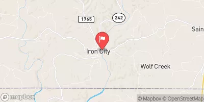 Shoal Creek At Iron City
|
287cfs |
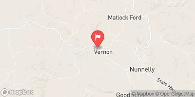 Piney River At Vernon
|
187cfs |
Area Campgrounds
| Location | Reservations | Toilets |
|---|---|---|
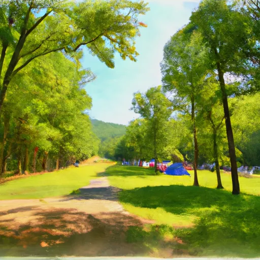 Meriwether Lewis
|
||
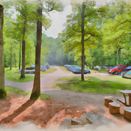 David Crockett State Park
|
||
 Meriwether Lewis Campground
|
||
 Laurel Hill Lake - TWRA
|


 The Henryville Bridge Crossing On County Road 6230 To Bethel Bridge On County Road 6174