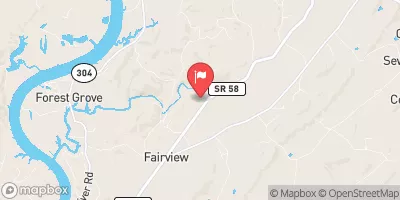
Summary
The ideal streamflow range for this run is between 500-1000 cfs. The class rating for this section of the river ranges from III to IV, providing a challenging yet enjoyable experience for intermediate to advanced paddlers. The total segment mileage for this run is approximately 7.6 miles.
Some specific rapids and obstacles on this run include The Middle Drop, The Lower Drop, The Curve, The Chute, and Pinball. These rapids and obstacles provide exciting challenges for paddlers and require technical skills to navigate safely.
There are specific regulations to be aware of when paddling this section of the river. All paddlers are required to wear a personal flotation device (PFD) at all times while on the river. Additionally, paddlers must respect private property and not trespass while accessing the river. Camping is not permitted along the riverbanks, and all trash must be packed out.
According to the American Whitewater website, the Whitewater River Run from Center Bridge to Cumberland-Morgan County Line is a “classic Tennessee run” and is recommended for intermediate to advanced paddlers. It is important for paddlers to have experience and proper equipment before attempting this run.
°F
°F
mph
Wind
%
Humidity
15-Day Weather Outlook
River Run Details
| Last Updated | 2026-02-07 |
| River Levels | 9 cfs (1.21 ft) |
| Percent of Normal | 33% |
| Status | |
| Class Level | None |
| Elevation | ft |
| Run Length | 15.0 Mi |
| Streamflow Discharge | cfs |
| Gauge Height | ft |
| Reporting Streamgage | USGS 03539600 |
5-Day Hourly Forecast Detail
Nearby Streamflow Levels
 Daddys Creek Near Hebbertsburg
|
493cfs |
 Clear Creek At Lilly Bridge Near Lancing
|
396cfs |
 Obed River Near Lancing
|
1590cfs |
 Emory River At Oakdale
|
2590cfs |
 Sewee Creek Near Decatur
|
150cfs |
 Calfkiller River At Hwy 111 Below Sparta
|
282cfs |


 Center Bridge To Cumberland-Morgan County Line
 Mill Site To Center Bridge
 I-40 Bridge To Western Boundary Of Catoosa Wildlife Management Area, At Adams Bridge