Summary
The ideal streamflow range for this section of the river is between 500-3000 cubic feet per second (cfs), making it a challenging and exciting experience for thrill-seekers. The segment mileage from the Apalachia Powerhouse (Rm 53.5) to Us411 Bridge (Rm 43.0) is approximately 10.5 miles, with several Class III and Class IV rapids, including "The Keener," "The Gulch," and "Powerhouse." These rapids offer technical challenges and require precise navigation.
The river run is regulated by the Tennessee Valley Authority, which enforces specific regulations to ensure safety for all participants. All boaters must wear a personal flotation device (PFD) at all times, and additional equipment such as helmets and wetsuits are strongly recommended. The TVA also mandates that all boaters must have a permit, which can be obtained online or at the TVA visitor center. Additionally, boaters are required to adhere to all posted speed limits and safety guidelines.
Overall, the Whitewater River Run in Tennessee offers a thrilling adventure for experienced kayakers and rafters. With challenging rapids and stunning scenery, it is a must-visit destination for those seeking an adrenaline rush on the water.
°F
°F
mph
Wind
%
Humidity
15-Day Weather Outlook
River Run Details
| Last Updated | 2026-02-07 |
| River Levels | 53 cfs (2.67 ft) |
| Percent of Normal | 21% |
| Status | |
| Class Level | iii-iv |
| Elevation | ft |
| Streamflow Discharge | cfs |
| Gauge Height | ft |
| Reporting Streamgage | USGS 03565500 |
5-Day Hourly Forecast Detail
Nearby Streamflow Levels
 Oostanaula Creek Near Sanford
|
61cfs |
 Hiwassee River At Charleston
|
10400cfs |
 Tellico River At Tellico Plains
|
276cfs |
 Ocoee River At Copperhill
|
301cfs |
 Sewee Creek Near Decatur
|
150cfs |
 Mill Creek Near Crandall
|
15cfs |
Area Campgrounds
| Location | Reservations | Toilets |
|---|---|---|
 Gee Creek
|
||
 Quinn Springs Rec Area
|
||
 Chilhowee Recreation Area
|
||
 Chilhowee Rec Area
|
||
 Chilhowee Campground
|
||
 Big Lost Creek
|


 Highway 30 5514, Benton
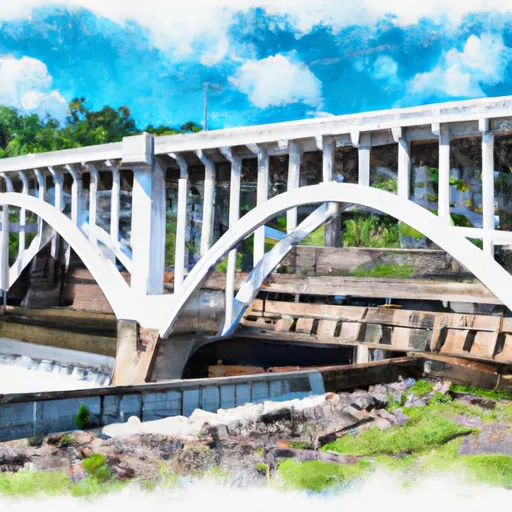 Apalachia Powerhouse (Rm 53.5) To Us411 Bridge (Rm 43.0)
 Childers Creek Trailhead
 Big Bend
 McKamy Lake