Summary
°F
°F
mph
Wind
%
Humidity
15-Day Weather Outlook
River Run Details
| Last Updated | |
| River Levels | cfs ( ft) |
| Percent of Normal | +100% |
| Status | |
| Class Level | III to III+ |
| Elevation | ft |
| Run Length | 8.0 Mi |
| Gradient | 23 FPM |
| Streamflow Discharge | cfs |
| Gauge Height | ft |
| Reporting Streamgage | USGS |


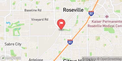
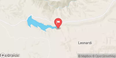
 Mother Lode River Center
 Peninsula - Folsom Lake State Rec Area
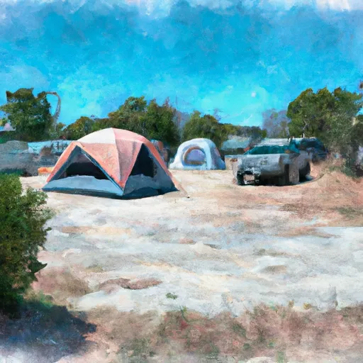 Georgetown Airport Campground
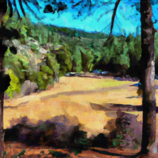 Rucky A Chucky - Auburn State Rec Area
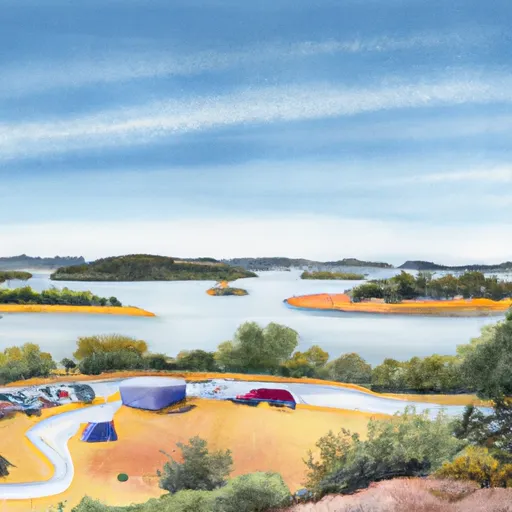 Folsom Lake Peninsula Campground
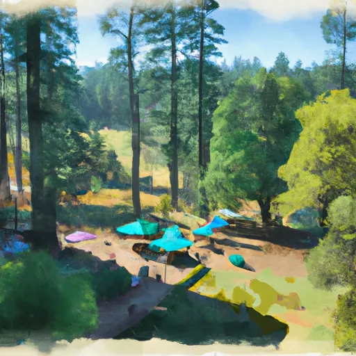 KOA Placerville
 River Trail El Dorado County
 The Gorge
 Coloma to Greenwood - (C to G)
 Chili Bar
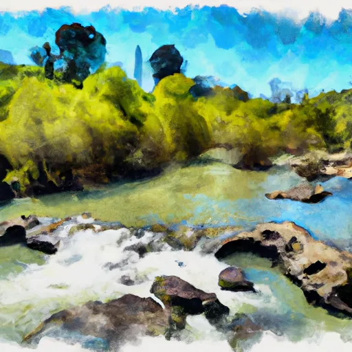 South Fork American River
 Greenwood to Mammoth Bar
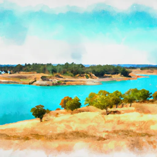 Folsom Lake State Recreation Area
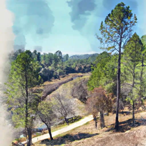 Auburn State Recreation Area
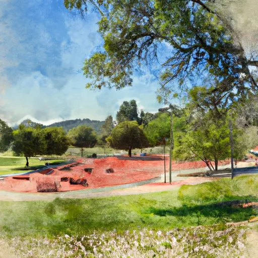 Auburn Recreation Park
 Ashford Park
 Auburn Ravine Trail Park