Summary
This boat ramp is specifically designed for rafts and other non-motorized watercraft.
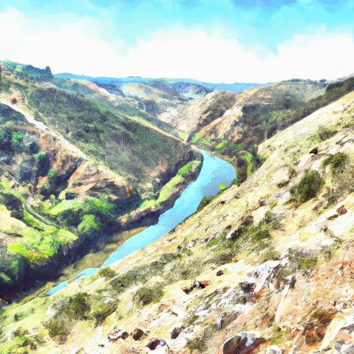
The ramp is relatively small and is not paved, but it is functional. It measures approximately 15 feet in width, which is enough space for a raft to be launched or retrieved. The ramp provides easy access to the nearby Truckee River, which is the body of water that it services.
As this is a non-motorized boat ramp, only rafts, canoes, kayaks, and other similar crafts are allowed on the water. The area is popular among paddlers and rafters who enjoy exploring the scenic Truckee River and its surrounding wilderness.
In conclusion, the Oxbow Raft Put-in Site boat ramp is a relatively small ramp that is designed for non-motorized watercraft only. It services the Truckee River, and only rafts, canoes, kayaks, and similar crafts are allowed on the water.
°F
°F
mph
Wind
%
Humidity

 Oxbow Raft Put-in Site
 Tunnel Run (Ralston Powerhouse to Greenwood)
 Interbay to Oxbow (End of the World)
 Big Grizzly Canyon To Oxbow Reservoir
 Yankee Jim Road to Ponderosa Way (Shirttail)
 Greenwood to Mammoth Bar
 Chamberlain Falls (Iowa Hill to Yankee Jim)