Summary
The ideal streamflow range for this run is between 800 and 2,000 cubic feet per second (cfs). The class rating for this run ranges from class II to class IV.
This run covers a distance of approximately 14 miles, starting from the Western Boundary of the Park and ending at the Fruita area. The river rapids and obstacles vary along the route, with some of the notable ones being the Funnel Falls, Surprise Rapid, and Lower Black Rocks.
It is important to note that the National Park Service regulates the use of this river, and all visitors are required to obtain a permit before embarking on the run. Additionally, visitors are not allowed to camp along the riverbanks, and all campsites must be established in designated areas.
Overall, the Whitewater River Run in Utah is an exciting adventure that requires proper preparation and adherence to regulations. It is important to use multiple sources to verify the accuracy of information before embarking on this adventure.
°F
°F
mph
Wind
%
Humidity
15-Day Weather Outlook
River Run Details
| Last Updated | 2026-02-10 |
| River Levels | 56 cfs (4.09 ft) |
| Percent of Normal | 100% |
| Status | |
| Class Level | ii-iv |
| Elevation | ft |
| Run Length | 9.0 Mi |
| Streamflow Discharge | cfs |
| Gauge Height | ft |
| Reporting Streamgage | USGS 09330000 |
5-Day Hourly Forecast Detail
Nearby Streamflow Levels
Area Campgrounds
| Location | Reservations | Toilets |
|---|---|---|
 Fruita - Capitol Reef National Park
|
||
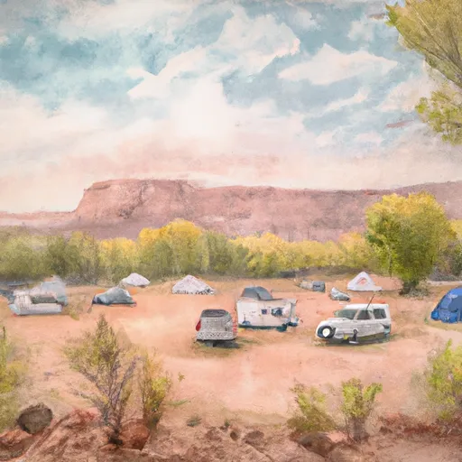 Fruita Campground
|
||
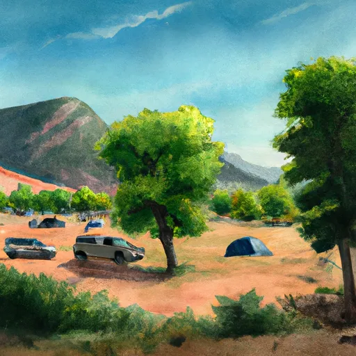 SINGLETREE CAMPGROUND
|
||
 Singletree
|
||
 Lower Bowns
|
||
 LOWER BOWNS CAMPGROUND
|


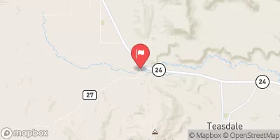
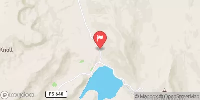
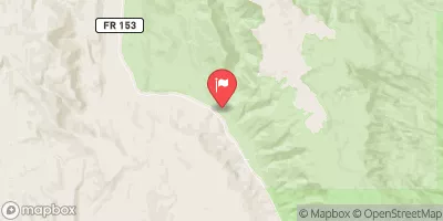

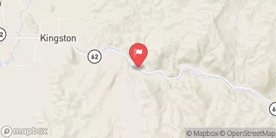
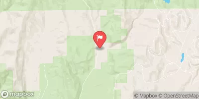
 Western Boundary Of Park To Fruita Area
 Fremont River 2 (Fremont Gorge)
 Fruita Area To Eastern Park Boundary