Summary
The ideal streamflow range for this river run is between 200 and 500 cfs. The class rating of this river is Class III, which means intermediate rapids with moderate difficulty.
The segment mileage of the Whitewater River Run is four miles, starting from the southern boundary of the park and ending four miles downstream. Some of the specific river rapids and obstacles that make this run exciting include the Buckboard Rapid, Skull Creek Rapid, and the Rocky Ford Rapid. These rapids offer a thrilling ride for intermediate to advanced boaters.
There are specific regulations to the area that visitors must adhere to while enjoying the Whitewater River Run. These regulations include wearing a personal flotation device at all times, traveling in groups of at least two or more, and following all state and federal laws and regulations.
In summary, the Whitewater River Run in Utah is an exciting adventure for intermediate to advanced boaters. With a streamflow range of 200 to 500 cfs, a Class III rating, and exciting rapids like Buckboard, Skull Creek, and Rocky Ford, visitors are sure to have an unforgettable experience. It is important to follow all regulations and safety guidelines while enjoying this adventure.
°F
°F
mph
Wind
%
Humidity
15-Day Weather Outlook
River Run Details
| Last Updated | 2026-02-07 |
| River Levels | 24200 cfs (17.69 ft) |
| Percent of Normal | 81% |
| Status | |
| Class Level | iii-iii |
| Elevation | ft |
| Run Length | 4.0 Mi |
| Streamflow Discharge | cfs |
| Gauge Height | ft |
| Reporting Streamgage | USGS 09328920 |
5-Day Hourly Forecast Detail
Nearby Streamflow Levels
Area Campgrounds
| Location | Reservations | Toilets |
|---|---|---|
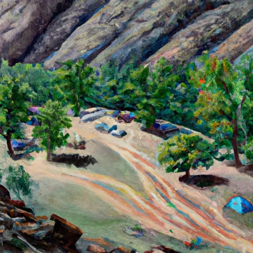 Millard Canyon
|
||
 Queen Anne Bottom
|
||
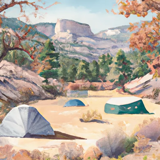 Beaver Bottom
|
||
 Potato Bottom C
|
||
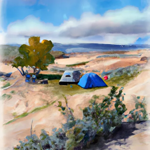 Hardscrabble B
|
||
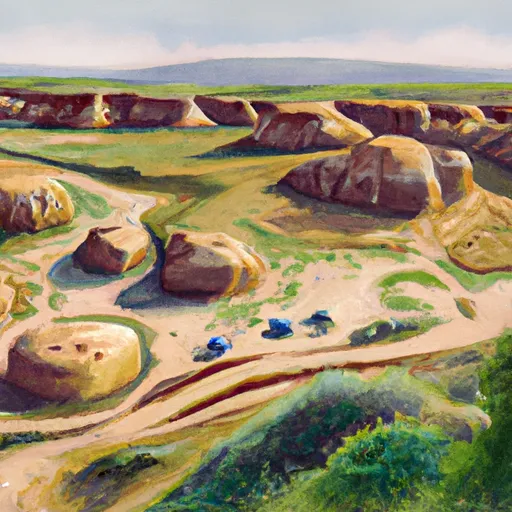 Hardscrabble A
|


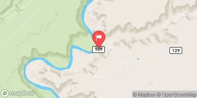
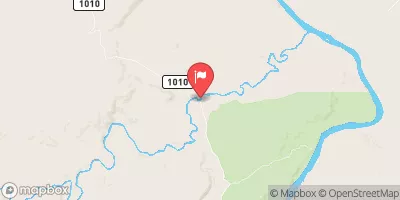
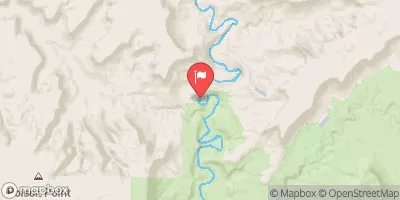
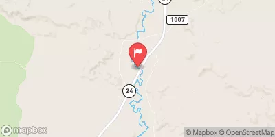
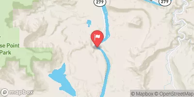
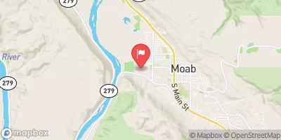
 Southern Boundary Of Park To Ends 4 Miles Downstream From Southern Boundary Of Park
 Western Boundary Of Glen Canyon National Recreation Area To Confluence With The Green River
 Robbers Roost Canyon
 Northern Boundary Of Park To Confluence With Colorado River