Summary
The ideal streamflow range for this run is between 1,000 and 12,000 cubic feet per second (cfs). The segment mileage of this run is approximately 14 miles, starting from the Western Boundary of Glen Canyon National Recreation Area and ending at the Confluence with the Green River.
The class rating of this run varies depending on the water level, ranging from class II to class V. The rapids and obstacles of this run include the famous Big Drops 1, 2, and 3, which are class IV-V rapids, as well as the Little Niagara, a class V rapid. Other rapids on the run include Badger Creek, Three Fords, and Mile 14.
There are specific regulations to the area that all visitors must follow. Visitors must obtain a permit to camp overnight in the area, and there are designated campsites along the river. Visitors must also pack out all trash and follow Leave No Trace principles. Additionally, motorized boats are not allowed on this section of the river.
Overall, the Whitewater River Run in Utah offers a thrilling and scenic experience for kayakers and rafters. It is important to check the water levels and follow all regulations to ensure a safe and enjoyable trip.
°F
°F
mph
Wind
%
Humidity
15-Day Weather Outlook
River Run Details
| Last Updated | 2026-02-07 |
| River Levels | 24200 cfs (17.69 ft) |
| Percent of Normal | 81% |
| Status | |
| Class Level | iv-v |
| Elevation | ft |
| Run Length | 8.0 Mi |
| Streamflow Discharge | cfs |
| Gauge Height | ft |
| Reporting Streamgage | USGS 09328920 |
5-Day Hourly Forecast Detail
Nearby Streamflow Levels
Area Campgrounds
| Location | Reservations | Toilets |
|---|---|---|
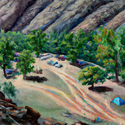 Millard Canyon
|
||
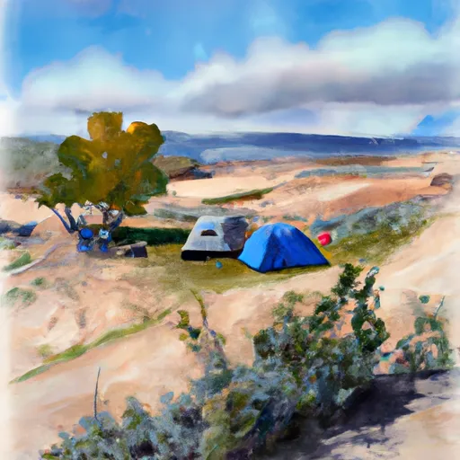 Hardscrabble B
|
||
 Queen Anne Bottom
|
||
 Potato Bottom C
|
||
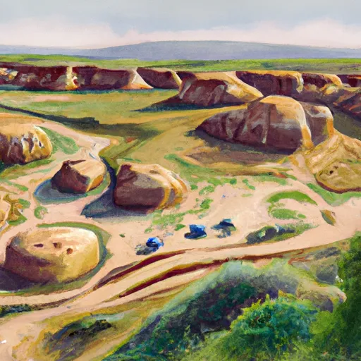 Hardscrabble A
|
||
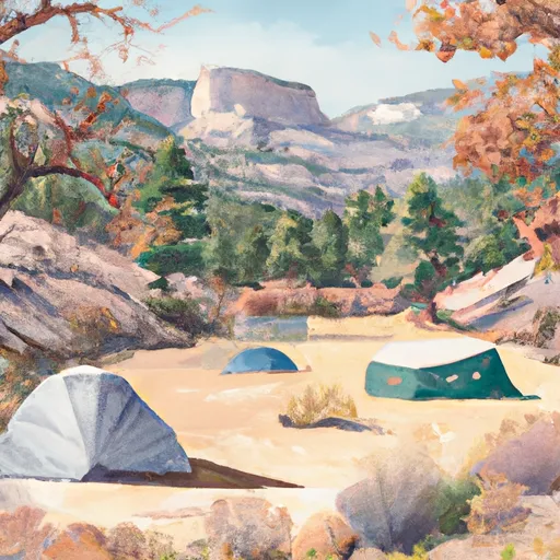 Beaver Bottom
|


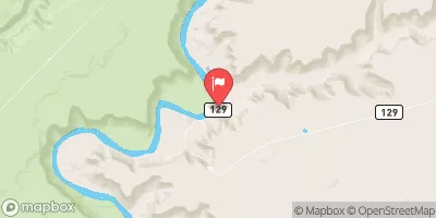
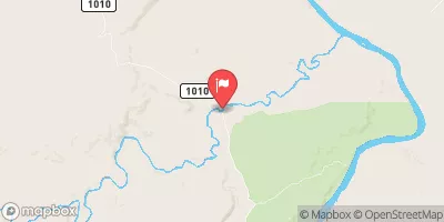
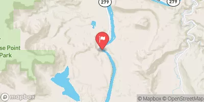
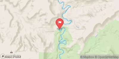
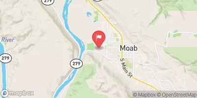
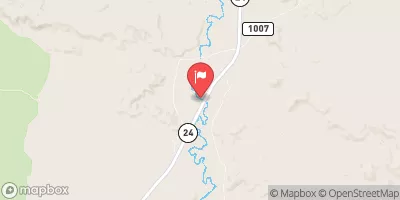
 Western Boundary Of Glen Canyon National Recreation Area To Confluence With The Green River
 Northern Boundary Of Park To Confluence With Colorado River
 Green River
 Southern Boundary Of Park To Ends 4 Miles Downstream From Southern Boundary Of Park