Northern Boundary Of Glen Canyon National Recreation Area To Lake Powell Paddle Report
Last Updated: 2026-02-07
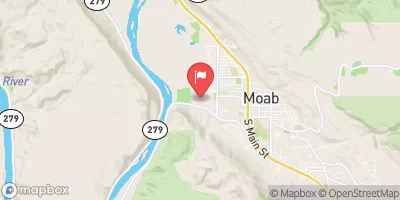
The Whitewater River Run, located in Utah, stretches from the northern boundary of Glen Canyon National Recreation Area to Lake Powell and is a popular destination for whitewater enthusiasts.
Summary
The ideal streamflow range for this run is between 800-12,000 cfs, with May and June being the best months for high water flows. The class rating for this river run ranges from Class II to V, depending on the segment.
The segment mileage for this run varies depending on the starting point, but the entire run is approximately 40 miles. The specific rapids and obstacles on this run include Halls Crossing Rapid, Satan's Gut, and Last Chance Rapid, which provide a thrilling challenge for experienced kayakers and rafters.
Regulations for the area include a permit requirement for commercial outfitters and a day-use fee for private boaters. Additionally, all boaters are required to have a personal flotation device (PFD) and follow Leave No Trace principles to protect the natural environment. Overall, the Whitewater River Run offers a thrilling adventure for experienced whitewater enthusiasts while also protecting and preserving the natural beauty of the area.
°F
°F
mph
Wind
%
Humidity
15-Day Weather Outlook
River Run Details
| Last Updated | 2026-02-07 |
| River Levels | 162 cfs (6.14 ft) |
| Percent of Normal | 74% |
| Status | |
| Class Level | ii |
| Elevation | ft |
| Run Length | 45.0 Mi |
| Streamflow Discharge | cfs |
| Gauge Height | ft |
| Reporting Streamgage | USGS 09333500 |
5-Day Hourly Forecast Detail
Nearby Streamflow Levels
Area Campgrounds
| Location | Reservations | Toilets |
|---|---|---|
 Big Drop 1 Beach
|
||
 X And Y
|
||
 Doll House Camping 3
|
||
 Standing Rock Campground
|
||
 Doll House Campingsite 2
|
||
 Chimney Rock Campground
|


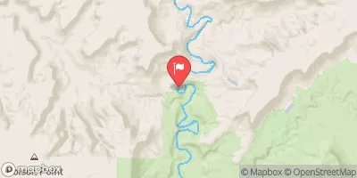
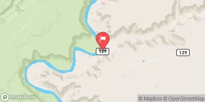
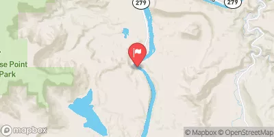
 Northern Boundary Of Glen Canyon National Recreation Area To Lake Powell
 Headwaters At T31S, R16E To Confluence With Colorado River
 Fable Valley