Summary
The ideal streamflow range for this river is between 1000 and 5000 cubic feet per second (cfs), with higher water levels increasing the difficulty and intensity of the rapids.
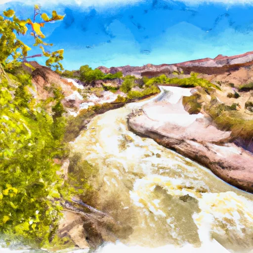
The class rating for this segment of the river is Class III-IV, with some sections reaching Class V during high water levels. The segment stretches for approximately 15 miles, beginning at the northern boundary of the Glen Canyon National Recreation Area and ending at the confluence with the Colorado River.
The rapids on the Whitewater River Run include several notable obstacles, including the Little Niagara, Big Drop 2, and the infamous Halls Crossing Rapid. These rapids require skill and experience to navigate safely, and caution should always be taken when approaching them.
There are specific regulations in place for the Whitewater River Run, including a mandatory lifejacket requirement for all boaters and a restriction on the use of glass containers. Additionally, boaters must obtain a backcountry permit from the National Park Service before embarking on the river.
Overall, the Whitewater River Run is a thrilling and challenging adventure for experienced whitewater enthusiasts. It is important to follow all regulations and safety guidelines to ensure a safe and enjoyable experience on the river.
°F
°F
mph
Wind
%
Humidity
15-Day Weather Outlook
River Run Details
| Last Updated | 2026-02-07 |
| River Levels | 14 cfs (1.76 ft) |
| Percent of Normal | 62% |
| Status | |
| Class Level | iii-iv |
| Elevation | ft |
| Run Length | 79.0 Mi |
| Streamflow Discharge | cfs |
| Gauge Height | ft |
| Reporting Streamgage | USGS 09337500 |


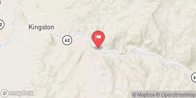
 Little Spencer Flat Dispersed - Grand Staircase Nat Mon
 Calf Creek
 Calf Creek Recreation Area
 Harris Wash - Grand Staircase Nat Mon
 Deer Creek- Burr Trail Rd - Grand Staircase Nat Mon
 Northern Boundary Of Glen Canyon National Recreation Area To Confluence With Colorado River
 Escalante River
 Lower Horse Canyon